Andean Treks

Trek of the Kallawayas

Un trek dans la cordillère Apolobamba, véritable joyau gardé secret, à l’extrême nord de la Bolivie. Isolée de tout, sauvage et méconnue, bien peu de voyageurs s’aventurent dans ces contrées mystérieuses … On la visite principalement pour deux raisons, la première, les paysages de cette cordillère, ces sommets très peu explorés, ces lagunes et ce sentiment d’éloignement extrême … La seconde, pour les Kallawayas, ces mystérieux guérisseurs, craints et respectés, qui officiaient déjà à l’époque des Incas. Cette région est effectivement leur terre, où ils cultivent et cueillent les plantes qui ont fait leur renommée internationale. Les Kallawayas sont aussi célèbres pour leurs dons divinatoires, ils sont parmi les sorciers les plus recherchés, et reconnus, de Bolivie et même d’Amérique Latine. Leur médecine et leur vision du monde est d’ailleurs inscrite au patrimoine mondial immatériel de l’UNESCO. En bref, ce périple est un saut dans une Bolivie méconnue, celle de la nature à son état sauvage le plus pur, et celle des croyances et traditions ancestrales.

Overview
  • Durée 12 jours
  • Transport Private transport
  • Entrées Variable
  • Accompagnement English speaking driver, and spanish speaking local guide
  • Altitude From 3,600 to 5,295 metres
  • Période From April to October

Prix indicatif, hors vols internationaux. Toutes les nuits, repas, guides et transferts inclus.

Plan my trip
Jour 1

LA PAZ – CHARAZANI – LAGUNILLAS (3710 m alt.) – KANISAYA (3870 m alt.)

  • Départ 06:30
  • Hébergement Kanisaya
  • Repas Lunch and dinner
  • Altitude Fom 3,600 m to 3,870 m
  • Transport 9 to 10 hours
  • Marche / vélo /

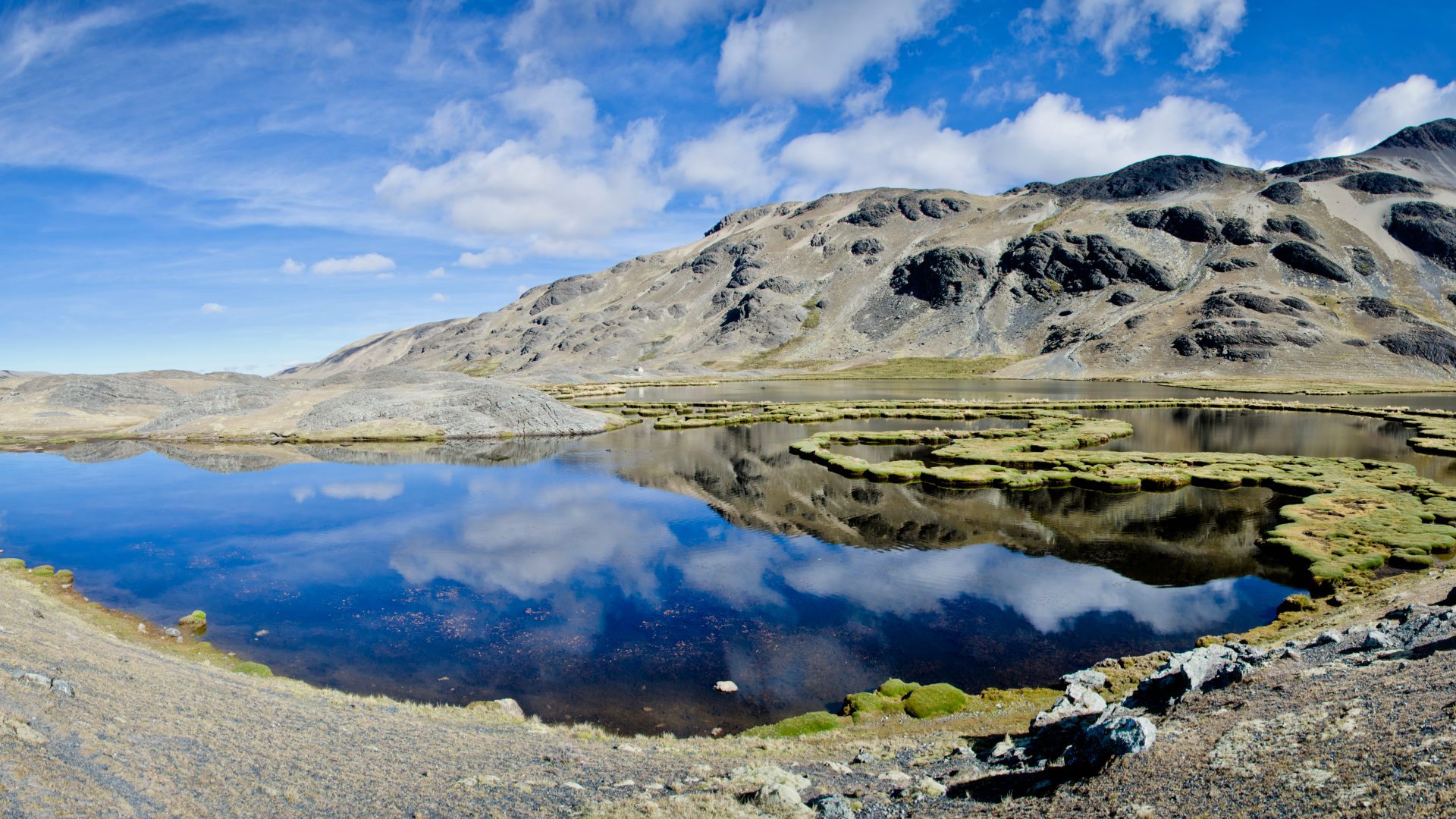
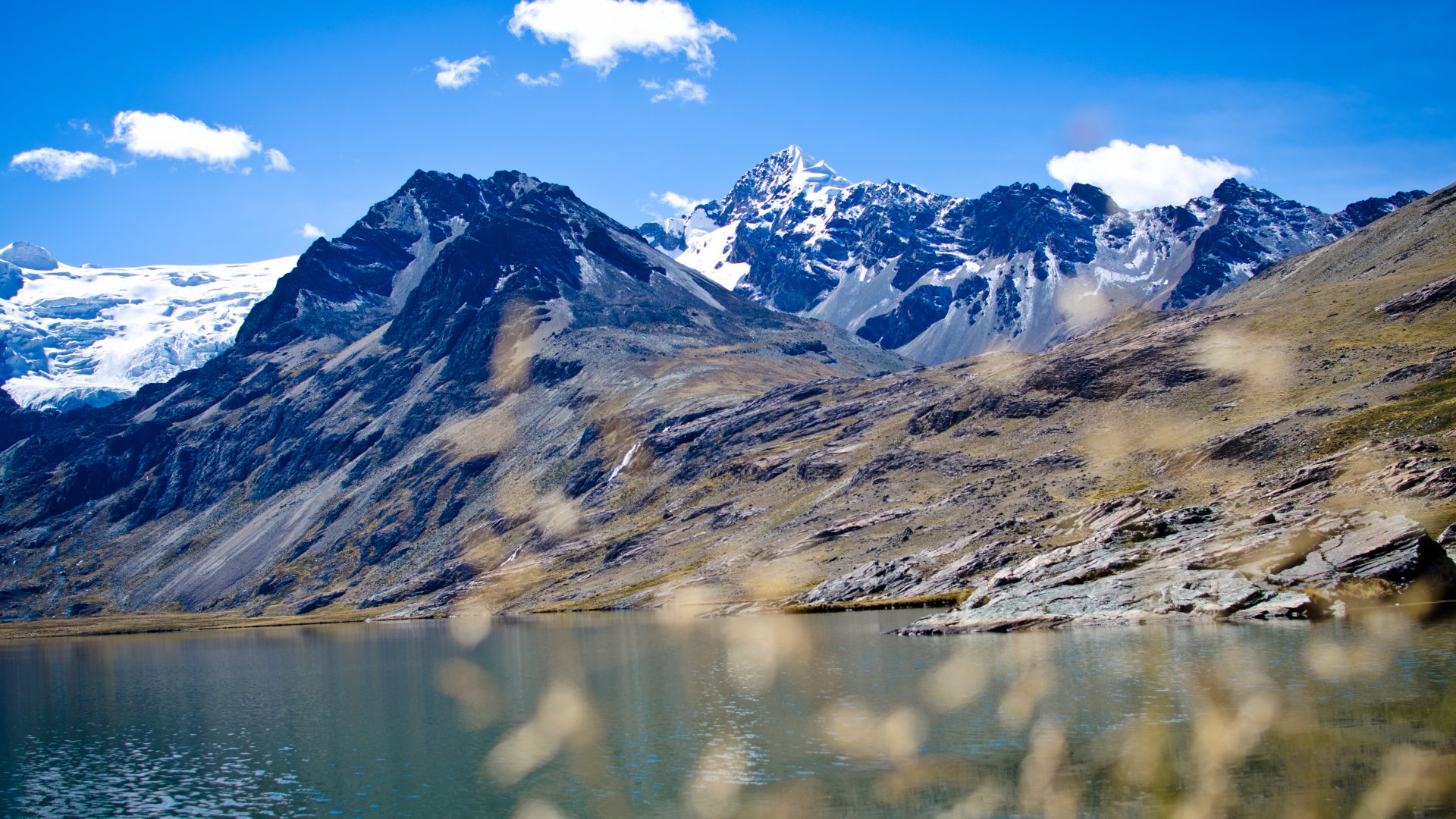
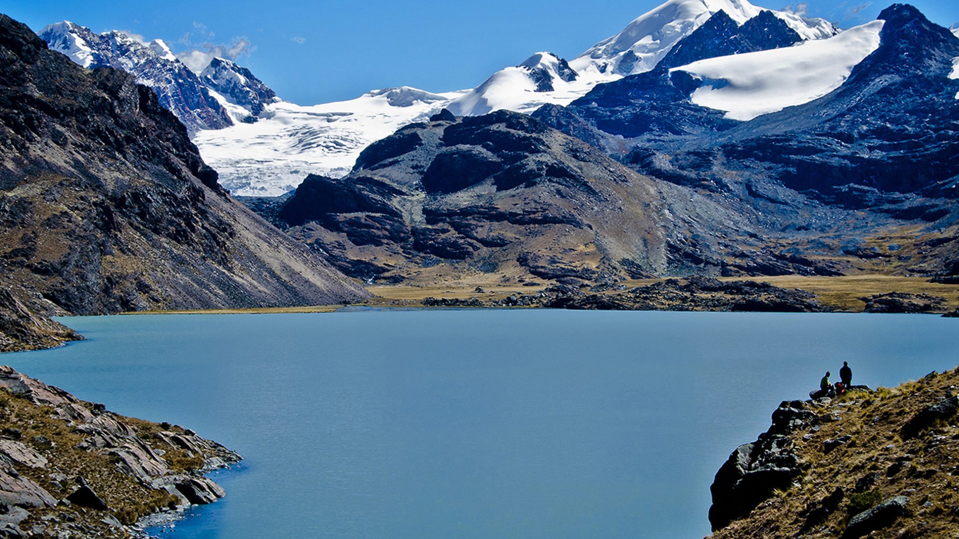
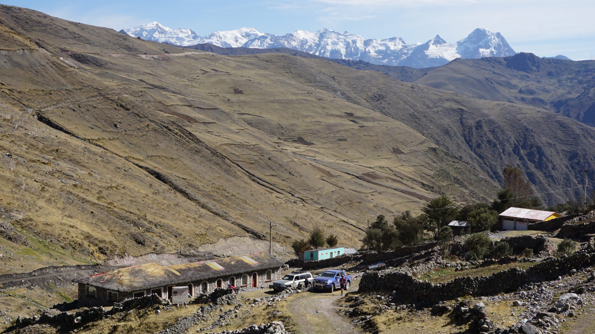
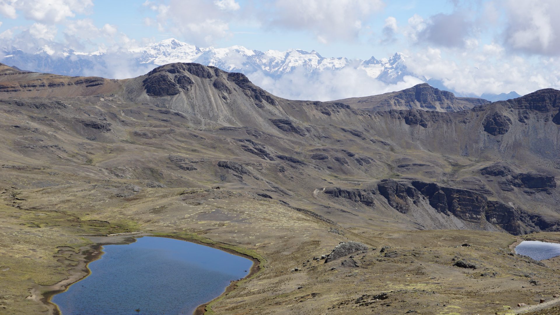
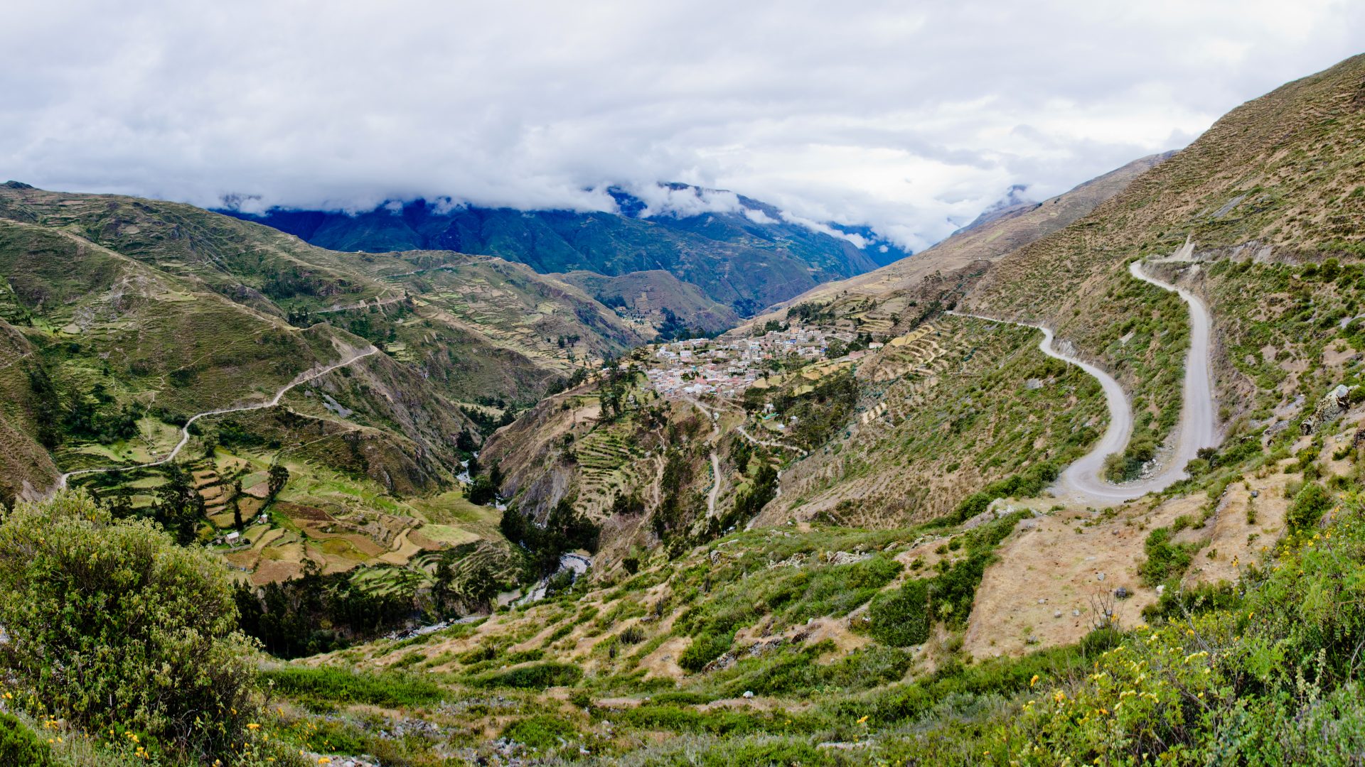
Depart early in the morning for the long drive north to the Cordillera Apolobamba. After skirting Lake Titicaca, several passes and switchbacks take us to the high plateaux at the foot of the Cordillera. Arrive in the village of Charazani in the afternoon. We can relax in the thermal waters (depending on the time available) before continuing on to the small village of Lagunillas. We continue by 4x4 to the village of Kanisaya (at the end of the track), which also has a hostel.

Jour 2

KANISAYA – LAGUNA CHUCHUJA (4230 m alt.)

  • Départ 09:00
  • Hébergement Overnight in tent
  • Repas Breakfast, lunch and dinner
  • Altitude From 3.870 m to 4.230 m
  • Transport /
  • Marche / vélo 3 to 4 hours

It's a gentle climb to a small hamlet of pretty stone houses. A huge rock bar closes off the valley. The day ends with a steep climb, due north, over this rocky ridge to a plateau containing a large lake, the Laguna Chuchuja, at an altitude of 4,230 metres. Camp at the foot of Akamani.

Jour 3

LAGUNA CHUCHUJA – LAGUNA KAÑUHUMA (4720 m alt.)

  • Départ 08:00
  • Hébergement Overnight in tent
  • Repas Breakfast, lunch and dinner
  • Altitude From 4.230 m to 4.720m
  • Marche / vélo 8 hours

We start the day by climbing north-west over the Laguna to a pass at 4420 metres altitude. The route continues westwards on a level curve, before descending into a wide valley. We then have to ford the river (4235m) before turning right, heading north, at the bottom of the valley. A long climb then awaits us (north-west) to the pass at 4945m, which is made up of successive plateaus. From here, the Ullakaya glacier massif (5820m) comes into view. We descend into the valley on our left to the pretty Laguna Kañuhuma, an ideal spot to set up camp.

Jour 4

LAGUNA KAÑUHUMA – LAGUNA PUJO PUJO (4655 m alt.)

  • Départ 08:00
  • Hébergement Overnight in tent
  • Repas Breakfast, lunch and dinner
  • Altitude From 4.720 m to 4.655m
  • Transport /
  • Marche / vélo 7 hours

We continue along a hillside path to a plateau overlooking a marshy valley. We are overlooking a bofedal, a high altitude wetland. We had to find the best way to get to the other side without getting our feet wet! The valley we crossed is closed off to the east by a wide glacial pass separating two beautiful summits. We set off again at altitude towards our next pass. The climb is long but gradual. Each pause is an opportunity to admire a formidable glacial landscape, made up of the Ullakaya and Condorini massifs. We reach our pass at 5110 m. A short descent through sandy terrain. A right-hand traverse takes us to the foot of another glacial peak, which looks easy to climb. All that remains is a long descent to the end of the Pujo Pujo lagoon. We pass a hamlet to reach our camp, set up away from the lake.

Jour 5

CAMP COLOLO – CAMP HUANACUNI (4750 m alt.)

  • Départ 07:00
  • Hébergement Overnight in tent
  • Repas Breakfast, lunch and dinner
  • Altitude From 4.680 m to 4.750m
  • Transport /
  • Marche / vélo 7 hours

We regretfully leave the enchanting Cololo.... valley behind us. We head due north to reach a pass at 5260m at the foot of the Huanacuni glacier (5790m). The climb is a leisurely one along the sides of the mountain. Then awaits a long descent into a wide valley heading north-west.The start of the descent is pleasant, on ashy earth, before a difficult passage through a chaos of poorly stabilised boulders. We leave the main valley to reach a mineral plateau at the foot of the glacial peaks of Huanacani. On our right, we can see the splendid ridges of the Huanacuni glacier. We pass 3 small green lakes and continue along the valley floor. This brings us to another perpendicular valley, which we climb to the right in a north-easterly direction until we reach a large lagoon (4750m).

Jour 6

CAMP HUANACUNI - PASO PELECHUCO – CAMP PALOMANI GRANDE ( 4730 m alt.)

  • Départ 08:00
  • Hébergement Overnight in tent
  • Repas Breakfast, lunch and dinner
  • Altitude From 4.750 m to 4.730 m
  • Transport /
  • Marche / vélo 9 hours

We start the day with a variation this time.....a fairly strenuous fording of the river (either using a rope or making a diversion). We then head due north and enter a heavenly valley meandered by a pretty stream flowing from a turquoise lagoon. A little further up, we have to climb a rocky bar above another, equally beautiful, larger lake, the Laguna Chucuyo Grande. The view of the enormous glacier massif in front of us will remain etched in our memories forever. It forms a gigantic glacial bar with multiple peaks. The largest on the left is the South Peak of Chaupi Orco, the highest point in the Cordillera. We descend quietly to the valley floor to set up camp at the foot of the glaciers.

Jour 7

CAMP PALOMANI GRANDE – CAMP CHAUPI ORCO (4895 m alt.)

  • Départ 09:00
  • Hébergement Overnight in tent
  • Repas Breakfast, lunch and dinner
  • Altitude From 4.730 m to 4.895m
  • Transport /
  • Marche / vélo 3 to 4 hours

We start the day with a variation this time.....a fairly strenuous fording of the river (either using a rope or making a diversion). We then head due north and enter a heavenly valley meandered by a pretty stream flowing from a turquoise lagoon. A little further up, we have to climb a rocky bar above another, equally beautiful, larger lake, the Laguna Chucuyo Grande. The view of the enormous glacier massif in front of us will remain etched in our memories forever. It forms a gigantic glacial bar with multiple peaks. The largest on the left is the South Peak of Chaupi Orco, the highest point in the Cordillera. We descend quietly to the valley floor to set up camp at the foot of the glaciers.

Jour 8

CAMP CHAUPI ORCO - CAMP PALOMANI GRANDE (4730 m alt.)

  • Départ 07:00
  • Hébergement Caluyo community
  • Repas Breakfast, lunch and dinner
  • Altitude From 4.895 m to 4'300 m
  • Transport 3 hours
  • Marche / vélo 3 hours

We set off again from our hydillic camp. It's around 3 hours' drive to the community of Quutapampa, where we'll have lunch at the community hostel and visit the small museum. On the way, you'll see various lagoons, including the Suraqucha lagoon, and you'll be able to observe the different birds of the region.You will also take part in a ritual dedicated to the Pachamama, Mother Earth, and a yatiri will be able to read your future in the coca leaves, if you wish. Settle into the Caluyo community hostel and enjoy a meal.

Jour 9

HIKE TO CHULLPAPATA / APTHAPI / CABILDOS / WOOL DEMONSTRATION / CHARI COMMUNITY / CAMPFIRE

  • Départ 08:00
  • Hébergement Chari community
  • Repas Breakfast, lunch and dinner
  • Altitude 4'100
  • Transport /
  • Marche / vélo 5 hours

Depart in the morning after breakfast for a hike to the Chullpapata archaeological site. En route, you can take part in work in the fields, sowing seeds or harvesting potatoes depending on the season.On arrival at the Chullpapata site, your guide will explain the importance of the site to the Kallawayas and the ceremonies that took place there. Unfortunately, we do not know the exact date of construction or which civilisation built it. However, we do know that it was a burial site.You will then share an apthapi with your guide in the ruins, with a magnificent view over the valley. The apthapi is a kind of picnic, often consisting of llama meat, chuños, tuntas, potatoes and fried cheese. Then it's back down to the community of Chari. In the afternoon, a local woman will give you a demonstration of local handicrafts, and you'll be able to admire some beautiful pieces such as ponchos and hats typical of the region.You can ask to be shown the various medicines made by the Kallawayas from local plants. If you feel like it, you can also ask for a private consultation, so that your future can be read in the coca leaves.

Jour 10

THERMAL BATHS / RETURN TO LA PAZ WITH STOPOVER AT LAKE TITICACA

  • Départ 07:00
  • Hébergement /
  • Repas Breakfast and lunch
  • Altitude 3'800
  • Transport 5 hours
  • Marche / vélo 20 minutes

Depart in the morning, after breakfast, by car to Charazani, where you can relax in the thermal baths before setting off again for La Paz. On the way, a stop is planned at Santiago de Okola, where you can admire the famous Dragon Dormido, a small peak on the shores of Lake Titicaca, whose shape is reminiscent of a dragon. You'll have a picnic in a small cove next to Turtle Island. Then return to La Paz, arriving in the late afternoon.

Also worth a look

Other itineraries you might enjoy

Like this itinerary?

Reach out to adjust this itinerary to your pace,
your level, your wishes.

Plan my trip