Andean Treks

Trekking in the Apolobamba Cordillera

Trek inédit dans la splendide et sauvage Cordillère Apolobamba. La team Thaki a ouvert ce trek sur le versant Ouest de la Cordillère Apolobamba en 2013. Nous y avons découvert un tracé inédit et unique, offrant de très belles vues sur les massifs glaciaires. Vous y découvrirez des campements et vallées idylliques, des lagunes aux couleurs surprenantes et une faune abondante. Un trek unique à ne pas rater pour les trekkeurs passionnés !

Overview
  • Durée 10 jours
  • Transport Spanish speaking driver and private vehicle
  • Entrées Comprise
  • Accompagnement Spanish speaking trekking guide
  • Altitude from 3600 m asl à 5200 m asl
  • Période from May to August
  • À partir de 2 760

Prix indicatif, hors vols internationaux. Toutes les nuits, repas, guides et transferts inclus.

Plan my trip
Jour 1

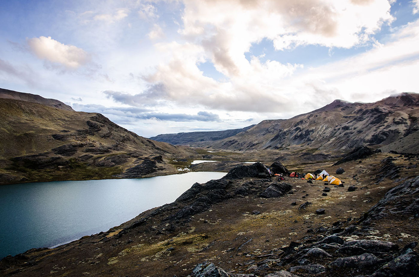
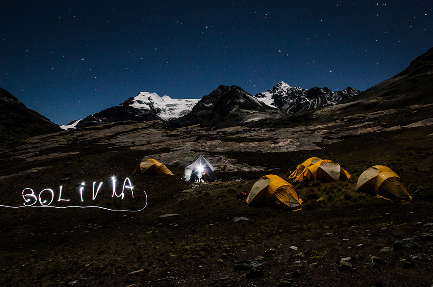
LA PAZ – CHARAZANI – LAGUNILLAS – KANISAYA (3870 meters/12,700 feet asl)

  • Départ 06h30
  • Hébergement refuge
  • Repas lunch, dinner
  • Altitude between 3.600 m asl and 3.870 m asl
  • Transport 09-10h

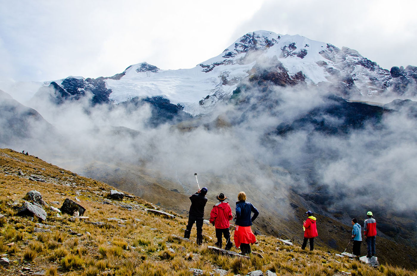
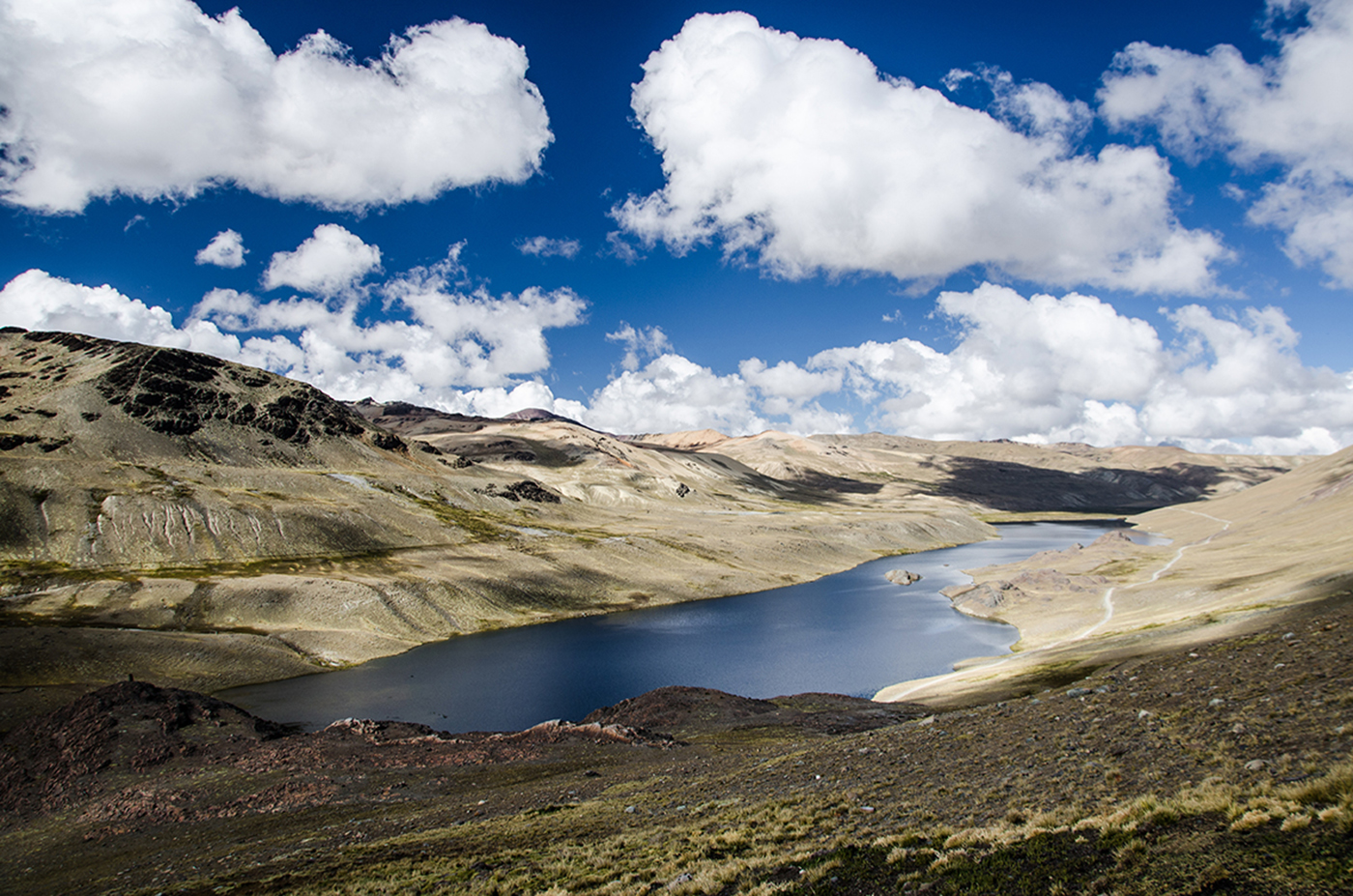
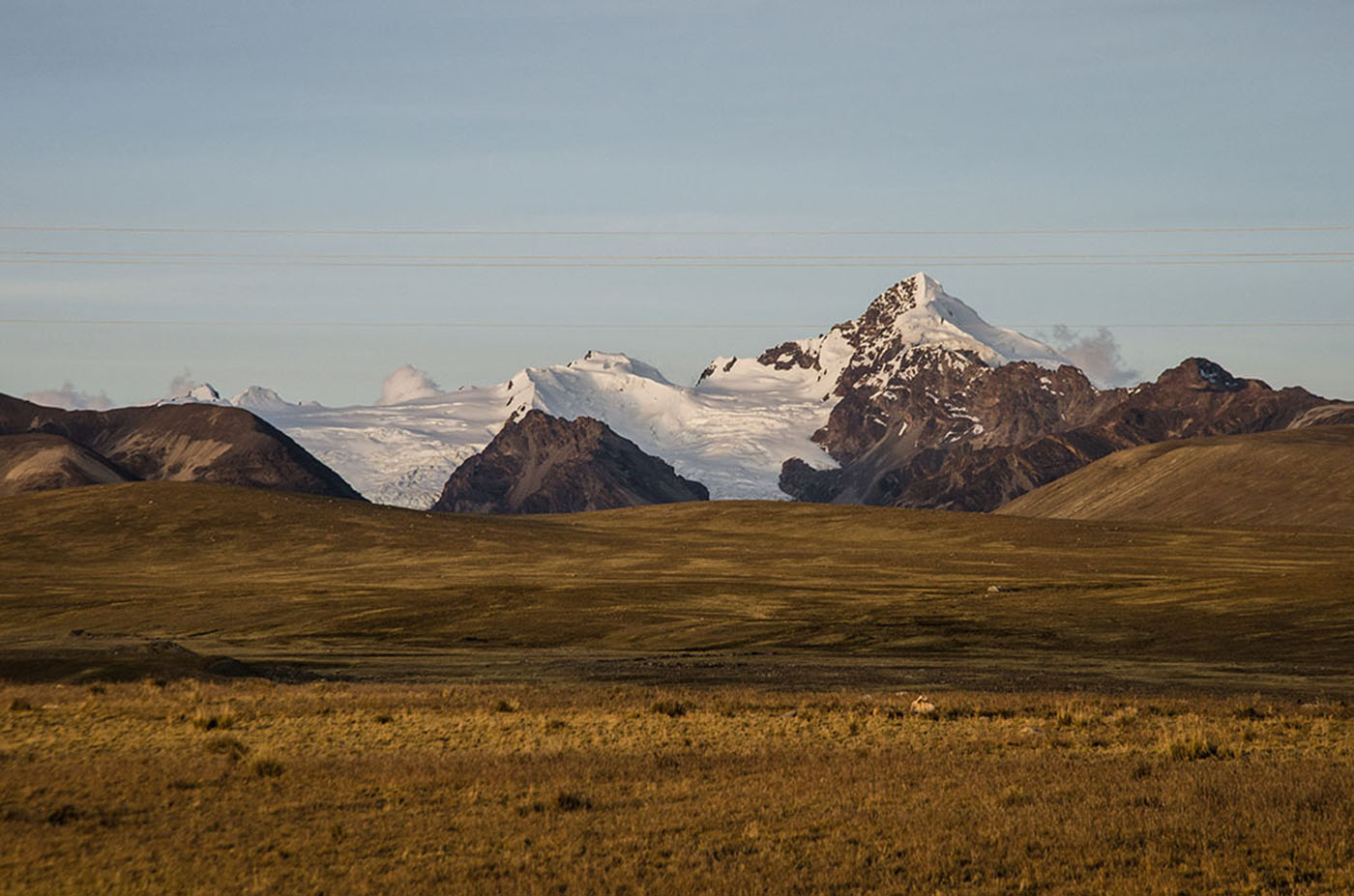
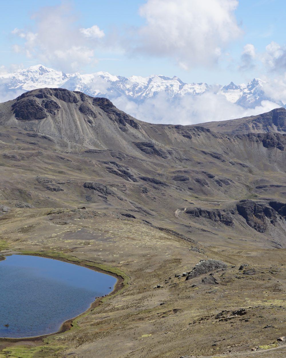
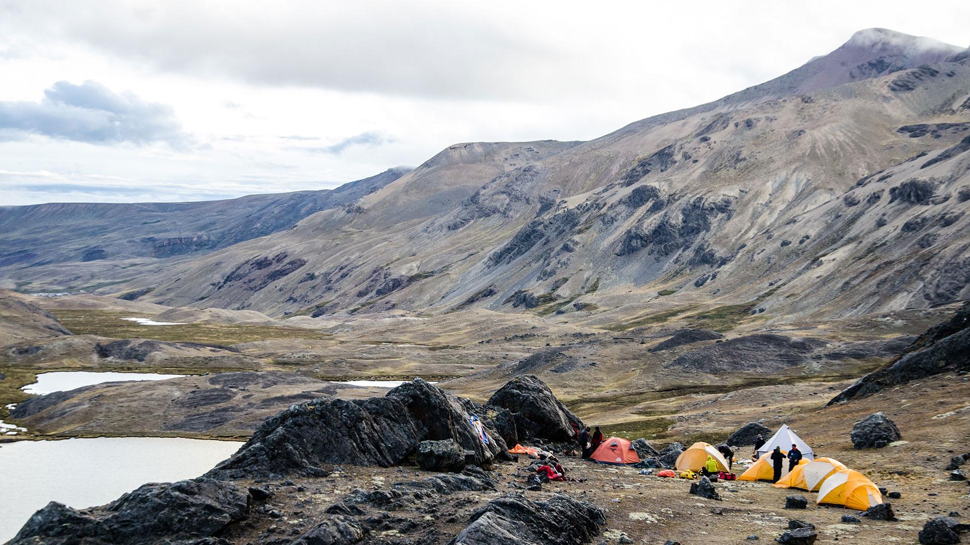
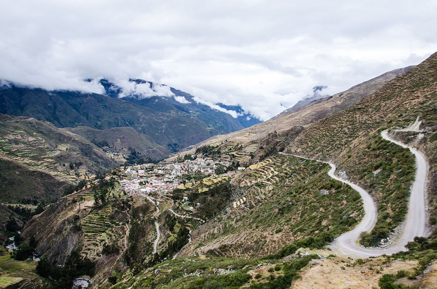
We depart in the morning for a long drive north towards the Apolobamba Mountain. We pass along Lake Titicaca and twist and turn around several passes, up to the highlands at the foot of the mountain. We arrive in the afternoon to the village of Charazani, which is known for its hot springs. We will enjoy the springs, time permitting, before continuing to the small village of Lagunillas. From here, we continue by 4x4 to the village of Kanisaya (end of the track). We spend the night in the village’s hostel.

Jour 2

KANISAYA – LAGUNA CHUCHUJA (4230 meters/13,900 feet asl)

  • Départ 09:00 am
  • Hébergement tent
  • Repas breakfast, lunch, dinner
  • Altitude between 3.870 m asl and 4.230 m asl
  • Marche / vélo 3-4 h

After breakfast, we hike up to a small hamlet known for its stone houses. An imposing rock barrier surrounds the valley. We end the day by climbing north along a steep slope and over a rock barrier to a plateau with a big lake, the Laguna Chuchuja, at 4230 meters /13,900 feet above sea level. We camp overnight at the foot of Akamani.

Jour 3

LAGUNA CHUCHUJA – LAGUNA KAÑUHUMA(4720 meters/15,500 feet asl)

  • Départ 08:00 am
  • Hébergement tent
  • Repas breakfast, lunch, dinner
  • Altitude between 4.230 m asl and 4.720 m asl
  • Marche / vélo 8h

We start the day by climbing north-west above Lake Chuchuja to a high pass (4420 meters/14,500 feet above sea level.) The path goes west following the contour line and then descends into a large valley. We wade across the stream (4235 meters/13,,900 feet above sea level), head north, and walk through the valley. From there, we make a long ascent to the north-west and cross a plateau to a 4945 meter/16,200 foot high pass. Here we get a first look at the glacial massif of Ullakaya (5820 meters/19,000 feet). We descend into the valley on our left, stopping at Lake Kañuhuma to set up camp.

Jour 4

LAGUNA KAÑUHUMA – LAGUNA PUJO PUJO (4655 meters/15,300 feet asl)

  • Départ 08:00 am
  • Hébergement tent
  • Repas breakfast, lunch, dinner
  • Altitude between 4.720 m asl and 4.655 m asl
  • Marche / vélo 7h

We continue trekking to a plateau located in a swampy glen that overlooks a “bofedal”, a humid high land. We will try to find the best path to cross so our feet don’t get wet! This area backs into a large glacial pass in the east that divides two beautiful summits. We ascend to the next pass at 5110 meters/16,800 feet above sea level. The way up is long but gradual. Impressive views of the Ullakaya and Condorini massifs accompany us throughout this journey. After reaching the pass, we make a short descent into a sandy area and cross to the right to the bottom of another glacial summit. After an easy ascent, we will make a long descent, pass a hamlet, and end up at Lake Pojo Pujo. We will set up camp near by.

Jour 5

LAGUNA PUJO PUJO – BASE COLOLO CAMP (4680 meters/15,400 feet asl)

  • Départ 08:00 am
  • Hébergement tent
  • Repas breakfast, lunch, dinner
  • Altitude between 4.655 m asl and 4.680 m asl
  • Marche / vélo 8h

From the lake, we continue on an easy path north-west up to the next pass at 4950 meters/16,200 feet. The path follows the contour line, goes around a rock barrier and leads to a pass at 5000 meters/16,400 feet. Here, the views of the Cololo (or Anta Kjawa) and Huanacuni glaciers and the entire range are amazing. We descend into large valley on our left, cross a stream, and go up towards the north-east into the valley on our right and towards the two glaciers. We follow a stream and two big lakes before setting up camp on the shore of the third lake (4680 meters/15,300 feet above sea level). This place is definitely one of the Cordillera’s most beautiful and the panoramic view is breathtaking. Here we offer the option of heading up to the glacial lake at the foot of Cololo (4960 meters/16,300 feet above sea level), formally know as Anta Kjawa, a name it shares with the valley. From our camp, the way up to Cololo is easy, taking us to the north-east and towards the valley. From the valley we head east on our way back up. Trekking here can be a bit tricky because of the “bofedals”. Before heading back to camp, wereach the lake at the bottom of the Cololo glacier . The hike back to camp takes about 2 hours.

Jour 6

BASE CAMP COLOLO – BASE CAMP HUANACUNI (5020 meters/16,500 feet asl)

  • Départ 08:00 am
  • Hébergement tent
  • Repas breakfast, lunch, dinner
  • Altitude between 4.680 m asl and 4.750 m asl
  • Marche / vélo 7h

Leaving the beautiful glen of Cololo, we head north to 5260 meters/17,200 feet and a pass at the foot of the Huanacuni glacier (5790 meters/19,000 feet). The way up is not technical. The long descent takes us towards the north-west and into a large valley. The descent starts off easy in ashy soil but gets progressively more difficult. The crux is an unstable rock field. We pass through the main glen to reach a plateau at the foot of the glacial summits of Huanacani. The beautiful ridges of Huanacuni glacier are on the right. We pass three green lakes as we continue to the bottom of the valley. We cross a perpendicular valley, climbing up its right side to a large lake at 4750 meters/15,600 feet).

Jour 7

HUANACUNI CAMP - PELECHUCO PASS – PALOMANI GRANDE CAMP (4730 meters/15,500 feet asl)

  • Départ 08:00 am
  • Hébergement tent
  • Repas breakfast, lunch, dinner
  • Altitude between 4.750 m asl and 4.730 m asl
  • Marche / vélo 9h

Our trek continues up and above the lake to a pass at 5120 meters/16,800 feet above sea level. The slopes are even and the walk is easy. We often find ourselves in the middle of llama and vicunas herds. We leave the magnificent Huanacuni massif behind and descend towards the lakes near the Pelechuco pass (4850 meters/15,900 feet). As we descend, we have a gorgeous view of the Cerro Presidente, Azucarani and Palomani Grande mountains with their peaks aligned from east to west. After a picnic on the lake shore, we hike up towards the north to a pass at 5230 meters/17.200 feet. We go around a rocky tower and follow a stream. As we get closer to the pass, we have an incredible view of Palomani Grande and the Azucarani Mountains, striped with ice-flutes that seem close enough to touch. After a steeper slope and we reach the pass. On the other side, the Chaupi Orco summit, the Cordillera’s highest peak, comes into sight. This area is home to Andean deer known as venado. The descent to our camp is gorgeous, with views of the west face of the Palomani Grande and a gray lake at its foot, and the eastern end of Lake Suches which borders Peru and has an important gold mine. We arrive to a stream-fed valley at the foot of the Palomani glacier and set up camp.

Jour 8

CAMP PALOMANI GRANDE – HIGH CAMP CHAUPI ORCO (5135 meters/16,800 feet asl)

  • Départ 08:00 am
  • Hébergement tent
  • Repas breakfast, lunch, dinner
  • Altitude between 4.730 m asl and 4.895 m asl
  • Marche / vélo 3-4 h

We continue north towards a valley with a meandering stream fed by a small lake with turquoise water. From there, we climb a rocky barrier above a bigger lake - Chucuyo Grande. The view of the glacial massif in front of us will likely be etched in our memory forever. It is a gigantic glacial barrier with multiple peaks, including the south peak of Chaupi Orco, the Cordillera’s highest. on the left. We descend to the valley floor and set up camp at the foot of the glaciers (Chaupi Orco base camp, 4895 meters/16,000 feet asl).

Jour 9

BASE CAMP CHAUPI ORCO - CAMP PALOMANI GRANDE (4730 meters/15,500 feet asl)

  • Départ 08:00 am
  • Hébergement tent
  • Repas breakfast, lunch, dinner
  • Altitude between 4.895 m sal and 4.730 m sal
  • Marche / vélo 3-4 h

We dedicate the morning to exploring this magic place. We head north-east up to a pass at 5295 meters/17,350 feet that leads to the Chaupi Orco glacier. From here, the view of the glacier is amazing. In the afternoon, we head back to Palomani Grande camp taking a slightly different and faster way. From the rocky barrier, we take the path on a ledge. This is the only way accessible to our mules.

Jour 10

CAMP PALOMANI GRANDE – LA PAZ ( 3600 m asl/11.800 feet asl)

  • Départ 07:00 am
  • Hébergement none
  • Repas breakfast, lunch
  • Altitude between 4.895 m asl and 3.600 m asl
  • Transport 9-10 h

We departure in a 4x4 early in the morning from Palomani Grande camp towards the Pelechuco pass. We start a long crossing of the high plateau. The panorama of all the Apolobamba range on our left is gorgeous. We then descend towards Lake Titicaca and reach La Paz by the end of the day.

Also worth a look

Other itineraries you might enjoy

Like this itinerary?

Reach out to adjust this itinerary to your pace,
your level, your wishes.

Plan my trip