Mountains & Ascents

Titans of the Real Cordillera

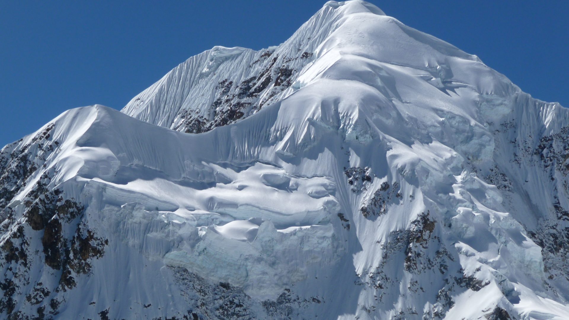
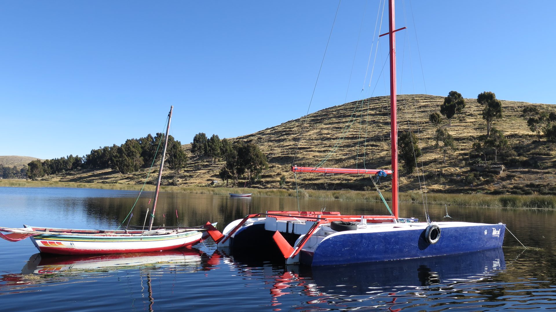
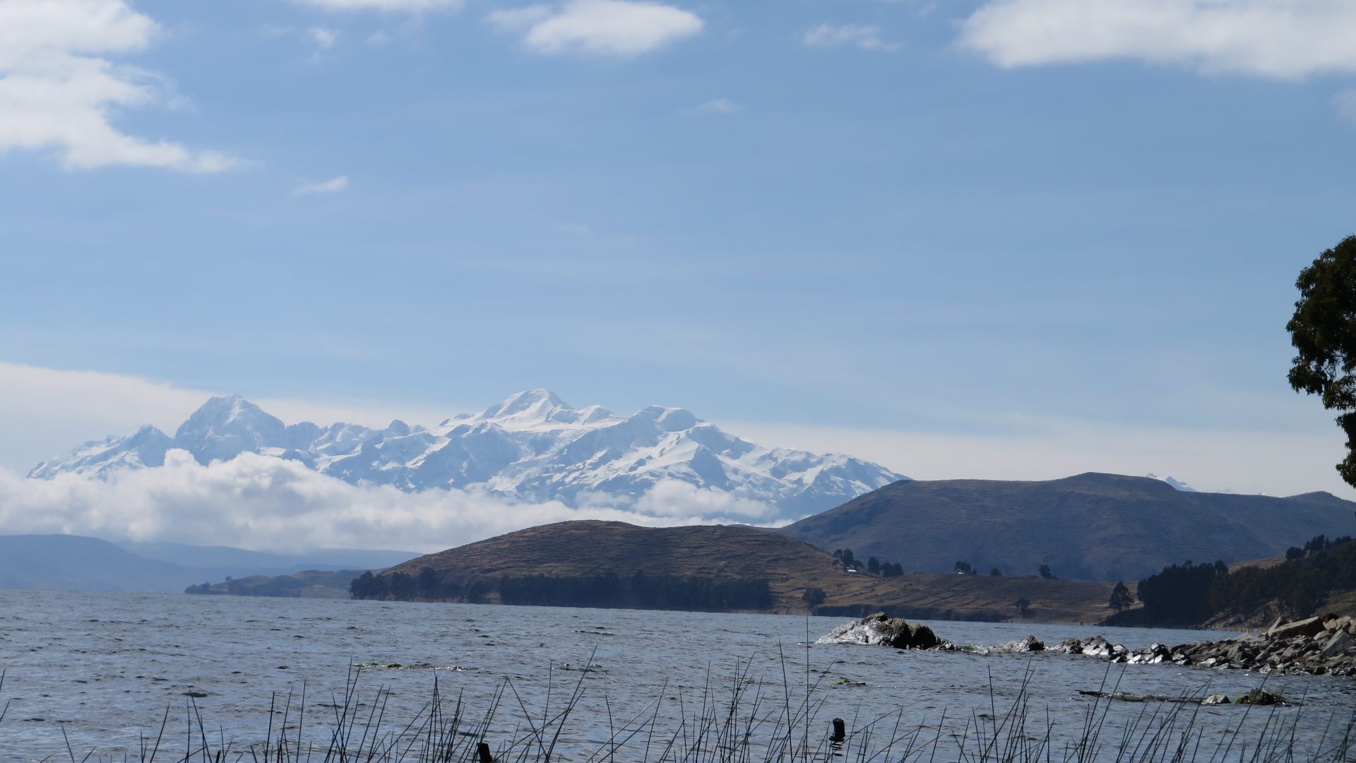
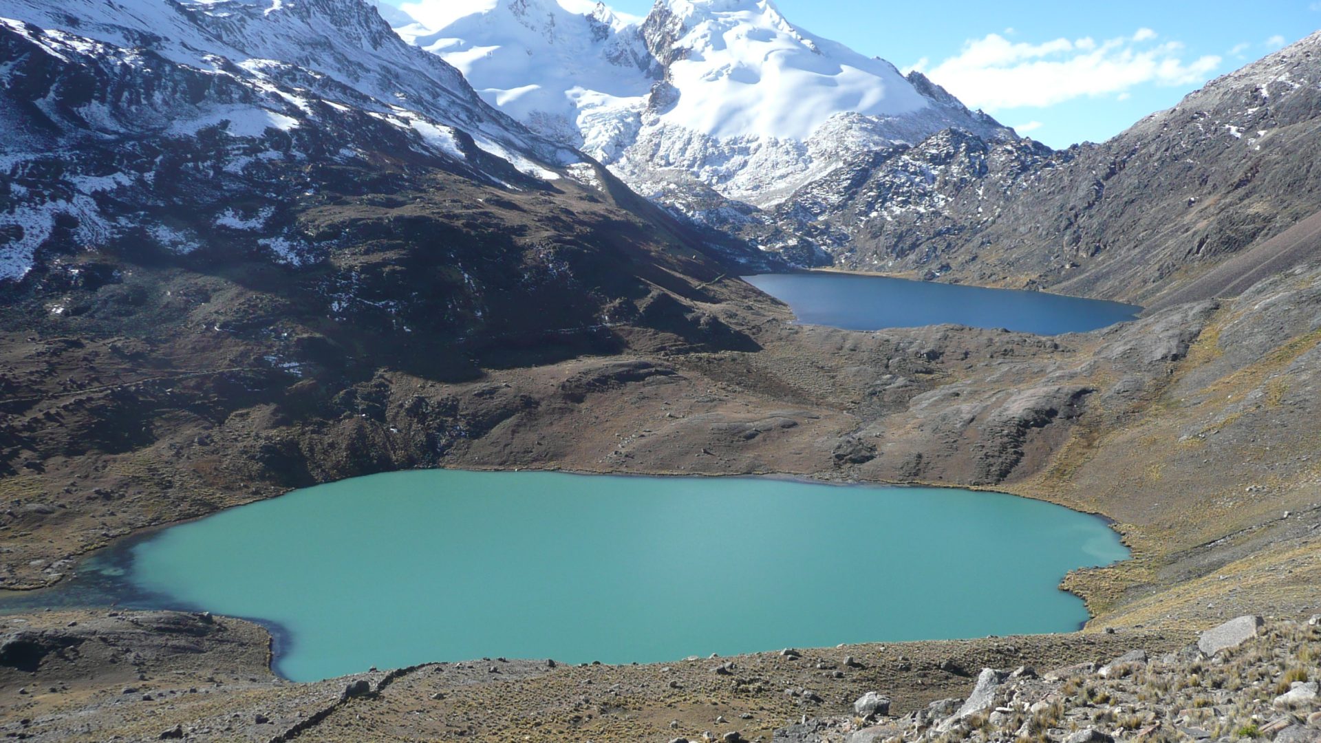
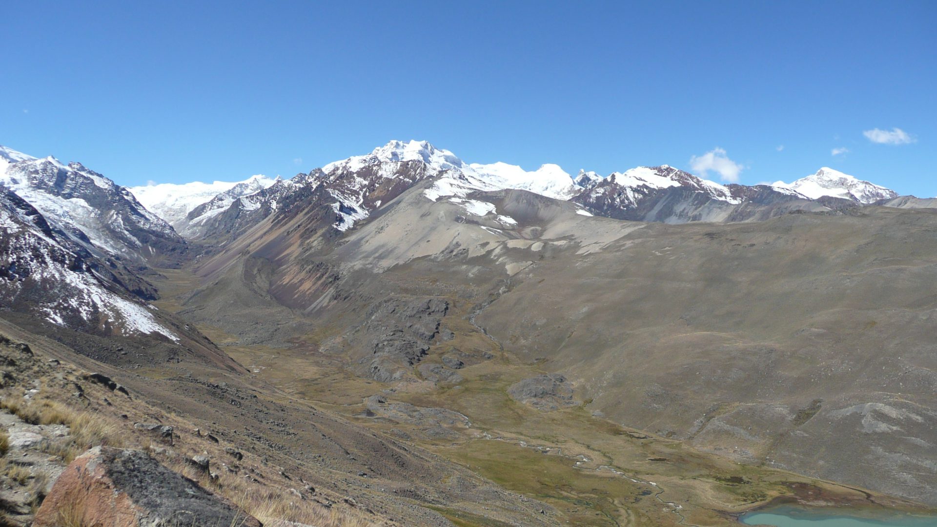
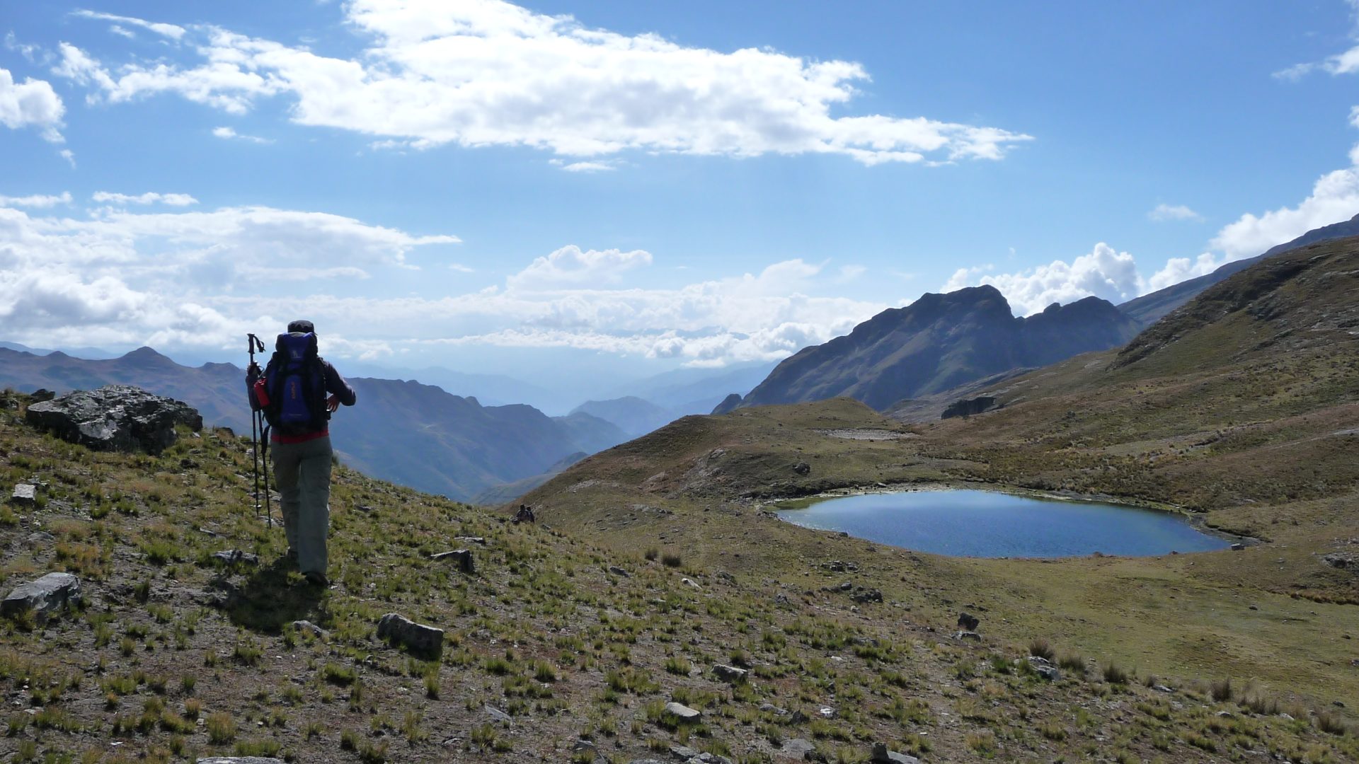
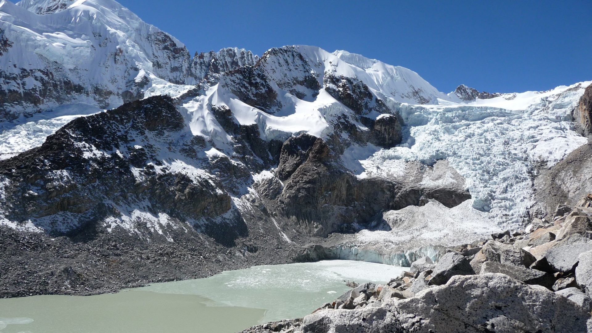
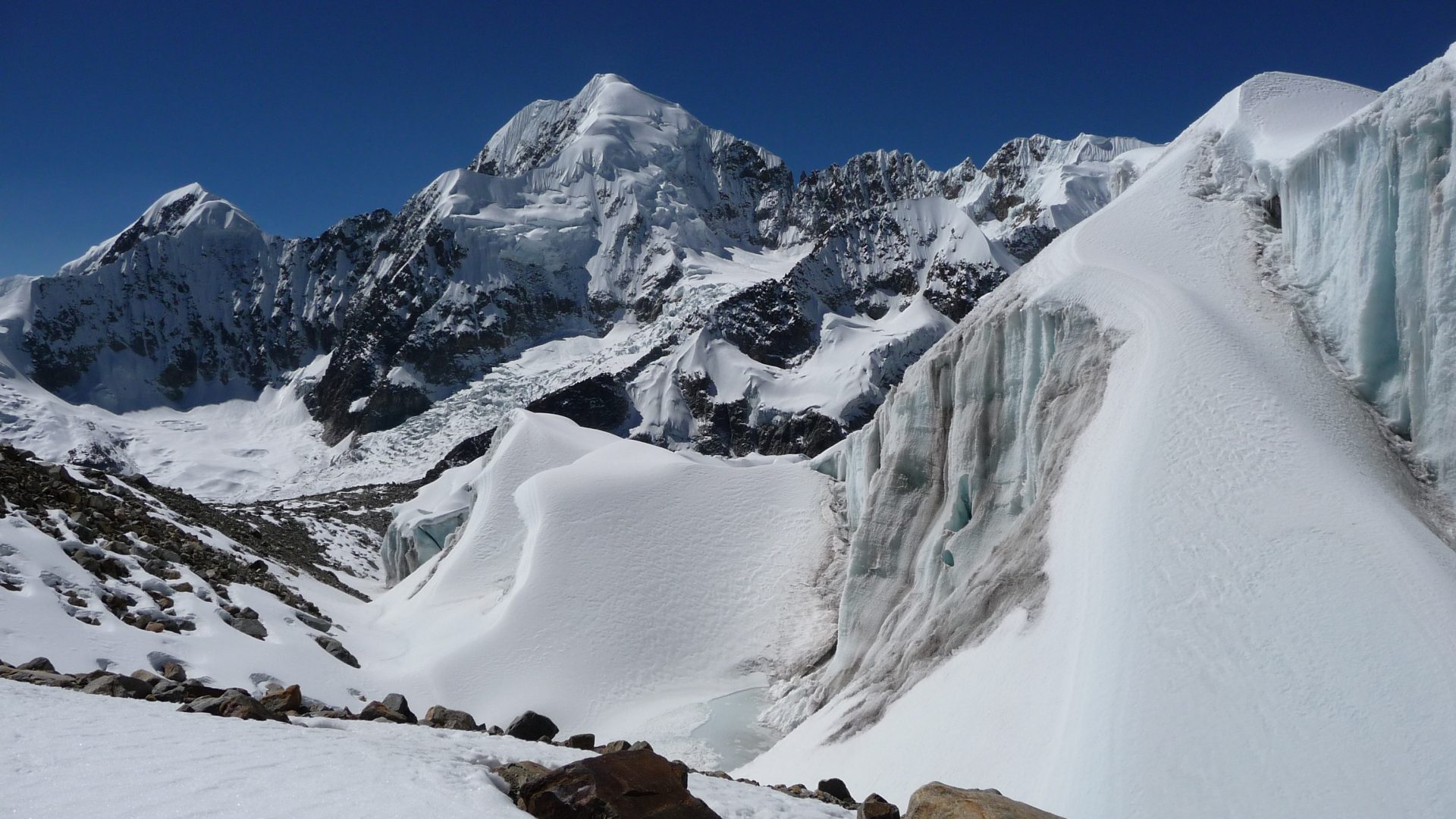
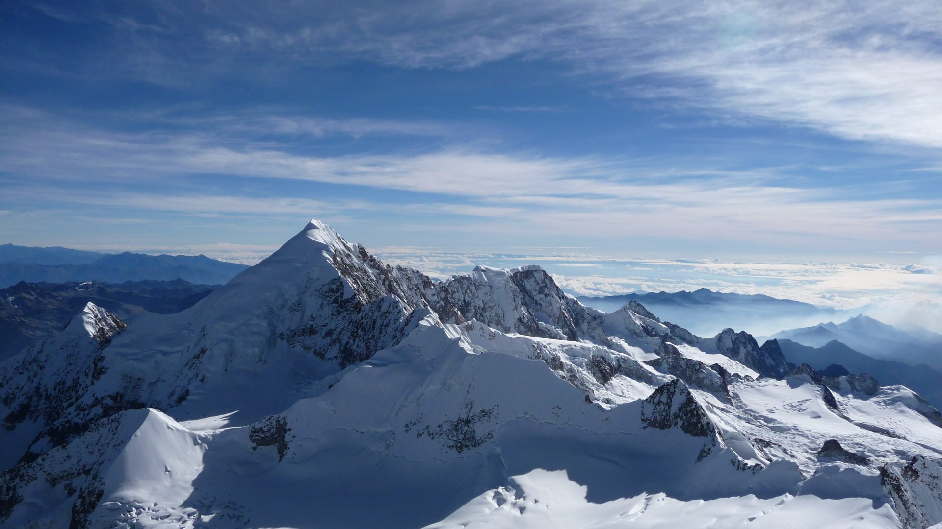
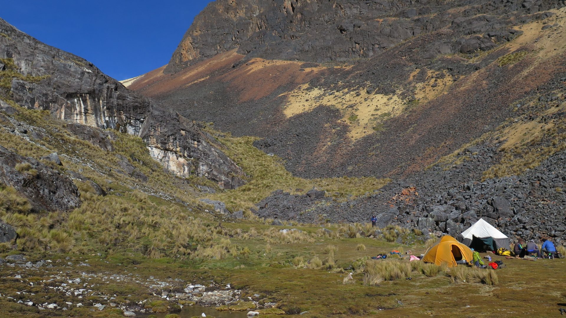
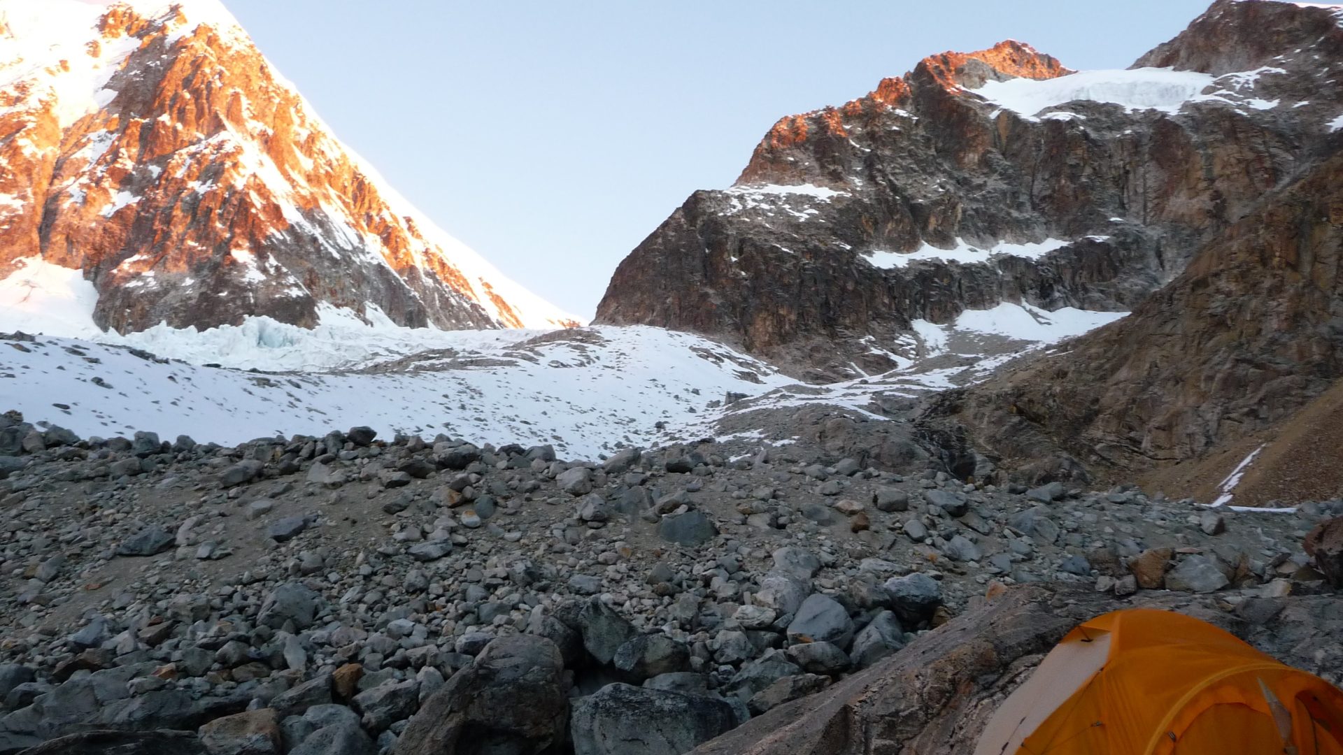
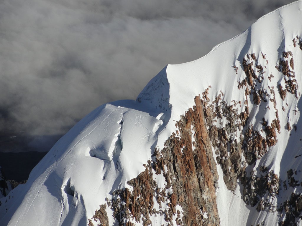
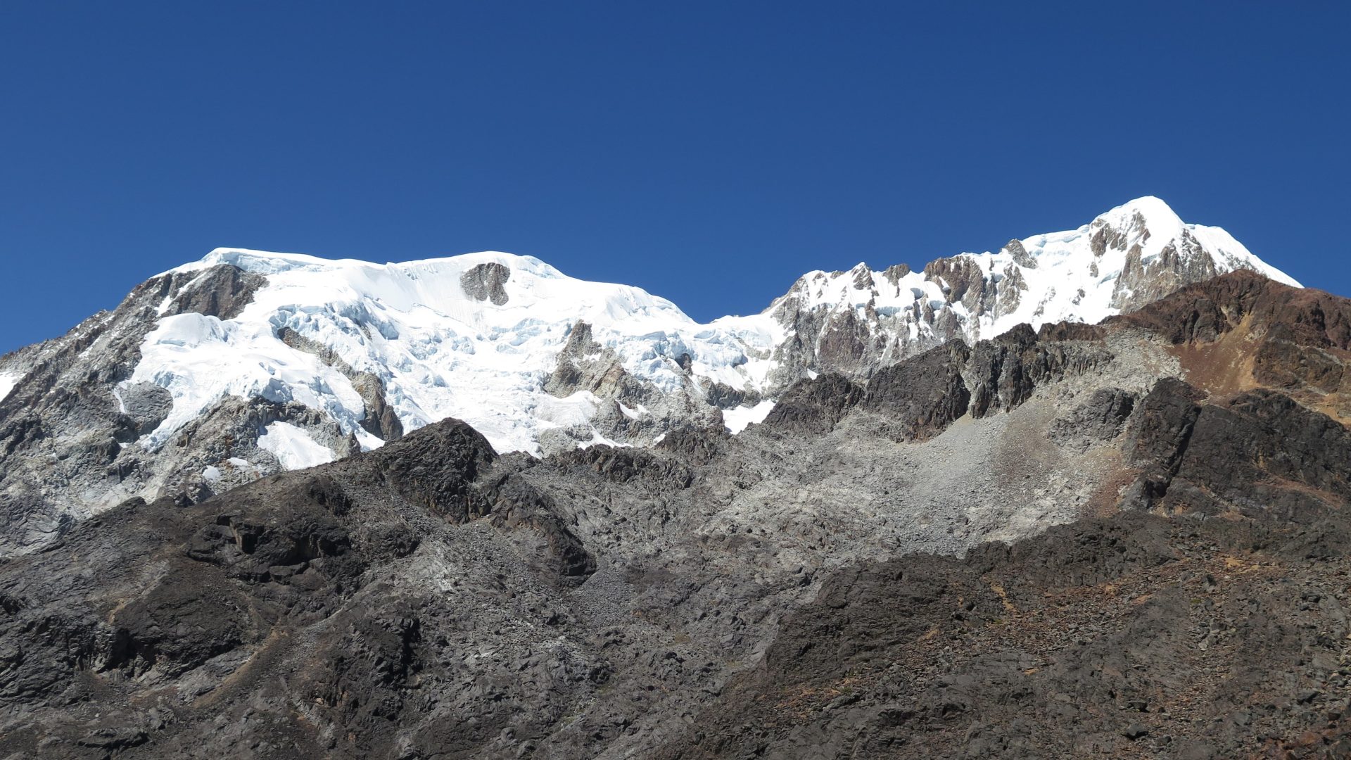
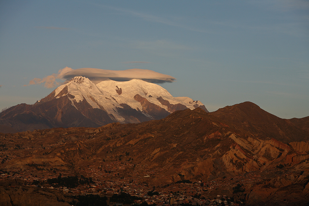
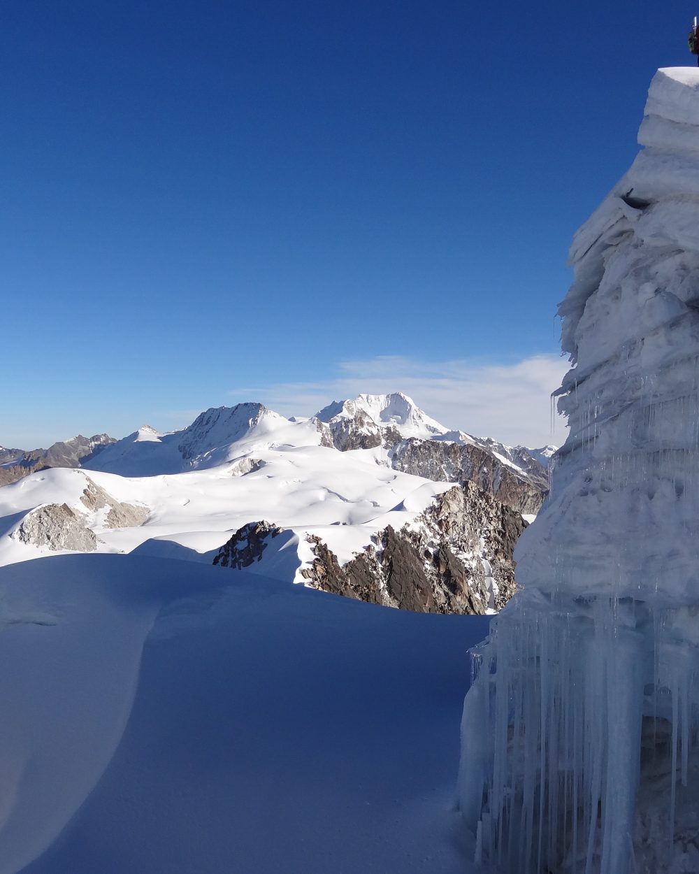
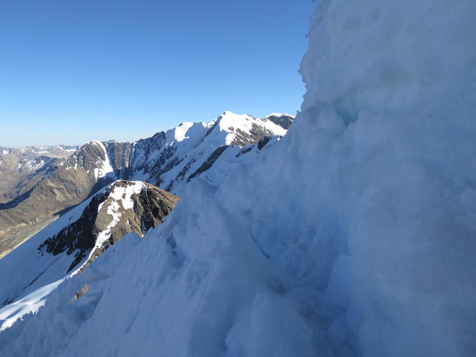
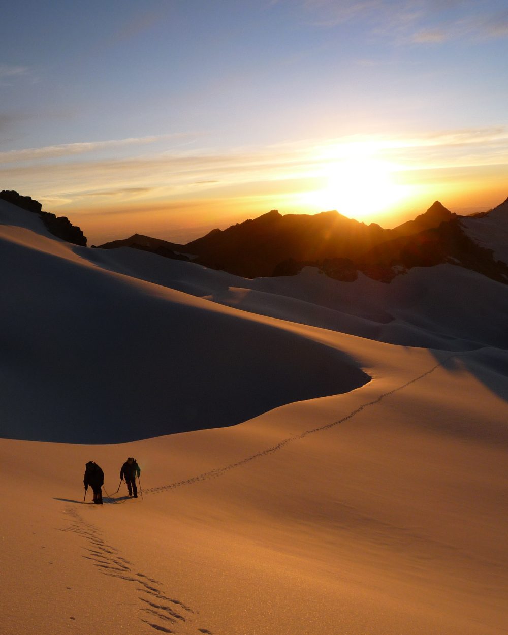
Vous rêvez d’expéditions engagées et insolites ! Vous souhaitez découvrir une des plus belles cordillères des Andes, la mythique Cordillère Royale. Après une acclimatation originale au Lac Titicaca, vous rejoindrez la partie nord de la Cordillère Royale, au pied des imposants massifs glaciaires. Cette région est peu fréquentée et offre des vues à couper le souffle sur les glaciers ainsi que des lagunes époustouflantes. Vous remonterez vers le nord de la Cordillère, en direction de l’Ancohuma et de l’Illampu, massifs les plus imposants de la Cordillère Royale, les Titans de cette chaîne de montagne, à la fois majestueux et sacrés ! Pour les amoureux de la montagne, montagnards aguerris recherchant une belle expédition sauvage loin des sentiers battus !

Overview
  • Durée 20 jours
  • Transport spanish speaking driver and private vehicle
  • Entrées Comprise
  • Accompagnement UIAGM spanish mountain guide and spanish trekking guide / english speaking guide in La Paz and Titicaca Lake
  • Altitude from 3.600 m asl to 6.430 m asl
  • Période from May to august

Prix indicatif, hors vols internationaux. Toutes les nuits, repas, guides et transferts inclus.

Plan my trip
Jour 1

LA PAZ ARRIVAL (3,600 meters/18,100 feet asl)

  • Départ to be coordinated
  • Hébergement hotel
  • Repas none
  • Transport 45 min

Reception at the airport and transfer to the hotel. Rooms are available from midday, unless otherwise arranged by us. Rest of the day free.

Jour 2

LA PAZ - ARTISAN TOUR - FAIRY CHIMNEYS - COLORFUL MARKETS (3,600 meters/18,100 feet asl)

  • Départ 08:00 am
  • Hébergement hotel
  • Repas breakfast
  • Transport 1h
  • Marche / vélo 2-3 h

We depart after breakfast to K'Illi K'Illi which offers a magnificent panorama of La Paz and the majestic, snowcapped Illimani mountain (6,400 meters/21,100 feet in elevation). We then descend to the southern zone and Ramon Tito’s studio. Tito is a “paceño” sculptor and watercolorist. His workshop is located on the aptly named “Avenue of the Sculptor.” Tito works mainly with stone he finds in the surrounding mountains. In addition to the clay found in the Valley of Souls, La Paz is known for stone, including basalt, marble, sandstone, alabaster, granite. Locals claim stone carries the Bolivian soul. Tito’s work is testimony to this, From his workshop, the tour continues to the Pedregal Canyon and an easy ascent (3600 meters.18,100 feet). The Canyon is home to impressive fairy chimneys (hoodoo) and a pass that opens into "El Valle Escondido" (the Hidden Valley). The walk continues to a village at the foot of the Muela del Diablo and, for the more adventurous, a trek down the ridge to the edge of Calacoto (1h30 of additional walking). We spend the afternoon exploring the colorful markets and historic center of the city of La Paz on foot.

Jour 3

LA PAZ - COPACABANA - YAMPUPATA HIKE - ISLAND OF THE SUN - YUMANI (4.000 meters/13,100 feet asl)

  • Départ 07:30 am
  • Hébergement ecolodge
  • Repas breakfast, lunch, diner
  • Transport 3h30
  • Marche / vélo 4-5h

We depart in the morning, driving across the Altiplano. The Cordillera Real accompanies us in the background. By mid morning, we cross the Strait of Tiquina by boat and continue by land to the westernborder of Bolivia and the town of Copacabana. Here, on the shore of Lake Titicaca, we board a boat and navigate to the Cave of Lourdes. We hike across the peninsula to the village of Yampupata, where we re-board the boat tothe Island of the Sun. We dock in Pilkokaina and take a short hike to the village of Yumani.

Jour 4

YUMANI - CATAMARAN - CHUQUIÑAPI (3820 meters/12,500 feet asl)

  • Départ 07:30 am
  • Hébergement monastery
  • Repas breakfast, lunch, diner
  • Transport 6h

From Yumani we board catamarans and cross Lake Titicaca. This is a 6 hour journey that takes us to the hamlet of Chuquiñapi. We spend the night there, at the renovated José Ferrari Monastery located in the middle of the Andean countryside overlooking the Lake.

Jour 5

CHUQUIÑAPI - ISLA SUNATA HIKING - CHUQUIÑAPI (3820 m asl/12,500 feet asl)

  • Départ 09:00 am
  • Hébergement monastery
  • Repas breakfast, lunch, diner
  • Marche / vélo 2-3h

After breakfast, we drive to the Island of Sunata south of Chuquiñapi (20 minutes) and hike off the beaten paths around it. We then head north along the banks of the Lake and return to the monastery on foot. Lunch at the monastery. In the afternoon, youcan catamaran in the bay of Santiago de Huata or just enjoy a moment of peaceful on the shores of the lake. Overnight at the monastery.

Jour 6

CHUQUIÑAPI - LAGUNA KACHA - LAGUNA CHOJNA QUTA (4720 meters/15,500 feet asl)

  • Départ 08:00 am
  • Hébergement tent
  • Repas breakfast, lunch, diner
  • Transport 3h
  • Marche / vélo 2-3h

We depart in the morning towards the Royal Cordillera. We arrive at Lake Kacha after about 3 hours and hike through the valley to the Carizal and Chojna Kuta lakes at the foot of the Calzada pass. A climb to the top of the Calzada pass is possible.

Jour 7

LAGUNA CHOJÑA QUTA (4720 meters/15,500 feet asl) - ACCLIMATIZATION TREK CALZADA

  • Départ 08:00 am
  • Hébergement tent
  • Repas breakfast, lunch, diner
  • Marche / vélo 7-8h

From Chojña Khota, we hike out and gain elevation as we move towards the east. The Calzada Peak (5650 meters/18,500 feet asl) serves as our beacon. Chojña Khota and Carizal lakes are clearly visible in the background. We reach a small lake and the foot of the Calzada glacier. The path steepens as we move towards the north-east and arrive at a pass at 5235 meters/17,200 feet. From the pas, the imposing massif of Chearoco (6127 m asl.) is visble, as is the green Jancko Khota lake in the valley below. From here, we continue towards the south, following the contour line above the valley before turning right to a second pass at 5280 meters/17,300 feet. A desert-like valley speckled with bright colors is visible. We cross the valley to the south-west, hike above a lake, and reach a third, screed pass at 5150 meters/16,900 feet. We descend towards the west, cross a large valley, and head up to the north-west to reach a fourth pass at 5090 meters/16,700 feet. The view of the lakes and the Ancohuma, Kasiri and Calzada glaciers is amazing. We return to our camp at Chojña Khota.

Jour 8

LAGUNA CHOJNA QUTA - LAGUNA SAN FRANCISCO (4520 meters/14,800 feet asl)

  • Départ 08:00 am
  • Hébergement tent
  • Repas breakfast, lunch, diner
  • Marche / vélo 7h

We start the day with a descent into the valley of Lake Kacha . From there, we ascend two successive passes at 4980 meters/16,300 feet. These passes offer an impressive view of the Ancohuma massif. We hike up to one more pass at 4920 meters/16,100 feet before making a long descent to San Francisco Lake (4520 meters/14,800 feet) and its hot springs.

Jour 9

LAGUNA SAN FRANCISCO - LOJENA (4360 meters/14,300 feet asl)

  • Départ 08:00 am
  • Hébergement tent
  • Repas breakfast, lunch, diner
  • Marche / vélo 5-6h

From our camp, we climb up to the Chotanlona pass at 4910 meters/16,100 feet. Our long journey up is rewarded with an impressive view of the Illampu and Ancohuma massifs, the Kasiri, Calzada and other glaciers, and a hint of the Chearoco massif. As our path rolls along the mountainside and we descend, Lake Titicaca comes into view. We arrive at Lojena, and set up of the camp. Our camp overlooks the Millipaya valley.

Jour 10

LOJENA - MINA SUSANA - CAMPO VENADO (4300 meters/14,100 feet asl)

  • Départ 08:00 am
  • Hébergement tent
  • Repas breakfast, lunch, diner
  • Marche / vélo 6-7h

Our hike passes by a number of lakes. At Lake Kota Pata (4145 meters/13,600 feet), the trail descends into a large valley where the Susana mine (silver and tin) operates. We hike up a cart track to the mine and continue to a pass at 4350 meters/14,275 feet, where we can see traces of mining activity. Our party takes us on the mountainside and to the foot of Ancohuma massif, where we set up camp.

Jour 11

CAMPO VENADO - LAGUNA GLACIAR (5045 meters/16,550 feet asl)

  • Départ 08:00 am
  • Hébergement tent
  • Repas breakfast, lunch, diner
  • Marche / vélo 3-4h

The ascent is steep, technical and off trail tothe Glacier Lake and the Ancohuma base camp. The surroundings are stunning. The glacier looks as if it is plunging into a peak-encircled lake.

Jour 12

LAGUNA GLACIAR – HIGH CAMP (5460 meters/17,900 feet asl)

  • Départ 08:00 am
  • Hébergement tent
  • Repas breakfast, lunch, diner
  • Marche / vélo 4h

We pass the lake on its right side and continue towards the ice field. Our climb up is steep until we reach a plateau, and is technical to the edge of the glacier (5460 meters/17,900 feet asl.). Camp on the glacier.We offer the possibility of setting up high camp on the glacier. If this is of interest, please contact us to arrange the logistics.

Jour 13

ANCOHUMA ASCENT - LAGUNA GLACIAR (5045 meters/16,550 feet asl)

  • Départ 01:00 am
  • Hébergement tent
  • Repas breakfast, lunch, diner
  • Marche / vélo 12-13h

This is a moderately technical ascent (AD+/IV). We depart in the night for an 8-9 hour ascent. The climb up is gradual to the foot of the massif (6100 meters/20,000 feet) and gets progressively steeper after that (50º to 55º). We descend either to our high camp (3-4 hours) or Glacier Lake (2 -3 hours).

Jour 14

LAGUNA GLACIAR - ILLAMPU BASE CAMP (4620 meters/15,200 feet asl)

  • Hébergement tent
  • Repas breakfast, lunch, diner
  • Marche / vélo 5-6h

Our descent is steep and rocky, and becomes more gradual as we pass the Ancohuma and Illampu massifs. We continue up to a pass at 4985 meters/16,400 feet and then defend to the Illampu base camp at 4620 meters/15,200 feet.

Jour 15

ILLAMPU BASE CAMP - ILLAMPU HIGH CAMP (5090 meters/16,700 feet asl)

  • Départ 09:00 am
  • Hébergement tent
  • Repas breakfast, lunch, diner
  • Marche / vélo 4-5h

We hike up to high camp, ascending to a plateau before descending into a valley. We climb out of the valley to base camp, just below the glacier. An alternative route takes us on a long climb over a scree to a pass at 4985 meters/16,350 feet. Here, the view of the Sorata valley is beautiful. We continue over rocky terrain and to a spur overlooking the Illampu high camp (5260 meters/17,300 feet asl). We rappel off the cliff to high camp at the edge of the glacier (5090 meters/16,700 feet asl.).

Jour 16

ILLAMPU HIGH CAMP (5090 meters/16,700 feet asl) / REST DAY

  • Hébergement tent
  • Repas breakfast, lunch, diner

Day of rest.

Jour 17

ASCENT OF ILLAMPU - ILLAMPU BASE CAMP (4620 meters/15,200 feet asl)

  • Départ 01:00 am
  • Hébergement tent
  • Repas breakfast, lunch, diner
  • Marche / vélo 14-15h

This is a difficult and technical ascent (TD/IV). We depart in the night, continue over a moraine to the glacial valley between Illampu and Schulz Peak. The climb over the glacier is gradual to moderate to the foot of the cliff (5660 meters/18,600 feet asl.). From here, the climb is steep (65º) to the ridge (6000 meters/19,700 feet), with 350 meters/1150 feet of gain in elevation. We continue on the ridge with steep ascent (45º-70º) to the summit. We descend through Aguas Calientes to base camp.

Jour 18

ILLAMPU BASE CAMP – LACATIYA - LA PAZ (3600 meters/11,800 feet asl)

  • Départ 08:00 am
  • Hébergement hotel
  • Repas breakfast, lunch
  • Transport 5h
  • Marche / vélo 3h

We ascend to a pass at 4850 meters/15,900 feet and then descend into a valley and the village of Lacatiya. We return by car to Sorata, continuing on to La Paz.

Jour 19

LA PAZ (3600 meters/11,800 feet asl)

  • Hébergement hotel
  • Repas breakfast

Free day to explore La Paz.

Jour 20

LA PAZ - AIRPORT/ INTERNATIONAL FLIGHT

  • Départ to be coordinated
  • Hébergement none
  • Repas breakfast
  • Transport 45 min

Transfer to El Alto and the international airport in private vehicle. (3 hours before the international flight departure time).

Also worth a look

Other itineraries you might enjoy

Like this itinerary?

Reach out to adjust this itinerary to your pace,
your level, your wishes.

Plan my trip