Mountains & Ascents

Summits off the beaten path in Royal Cordillera

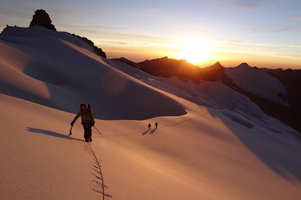
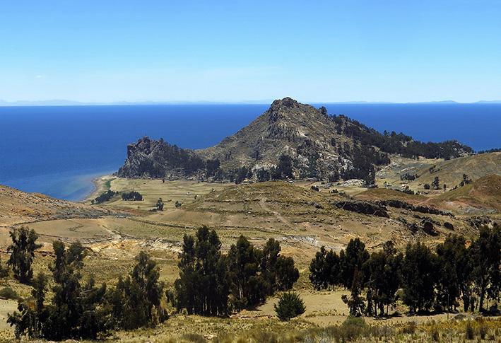
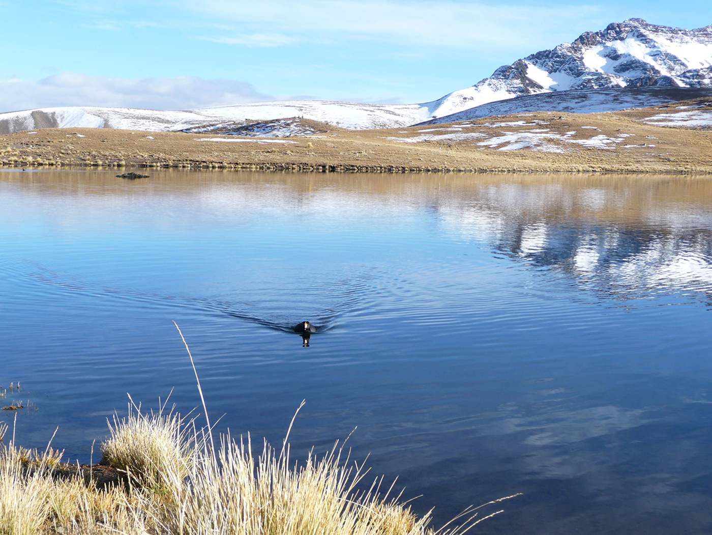
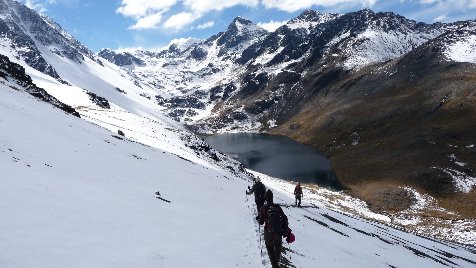
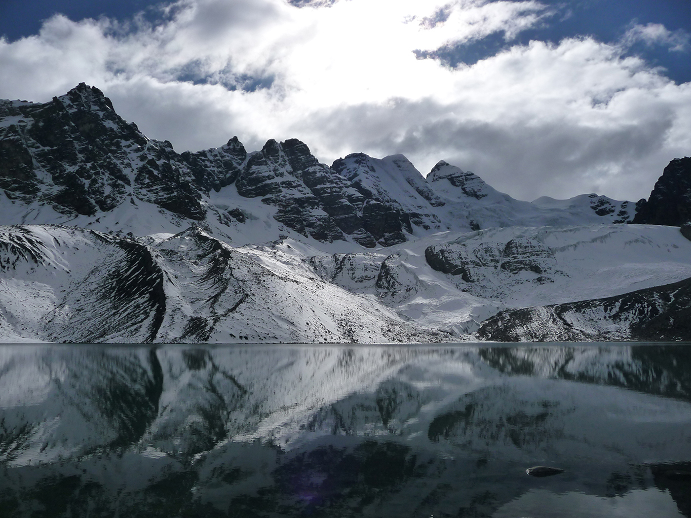
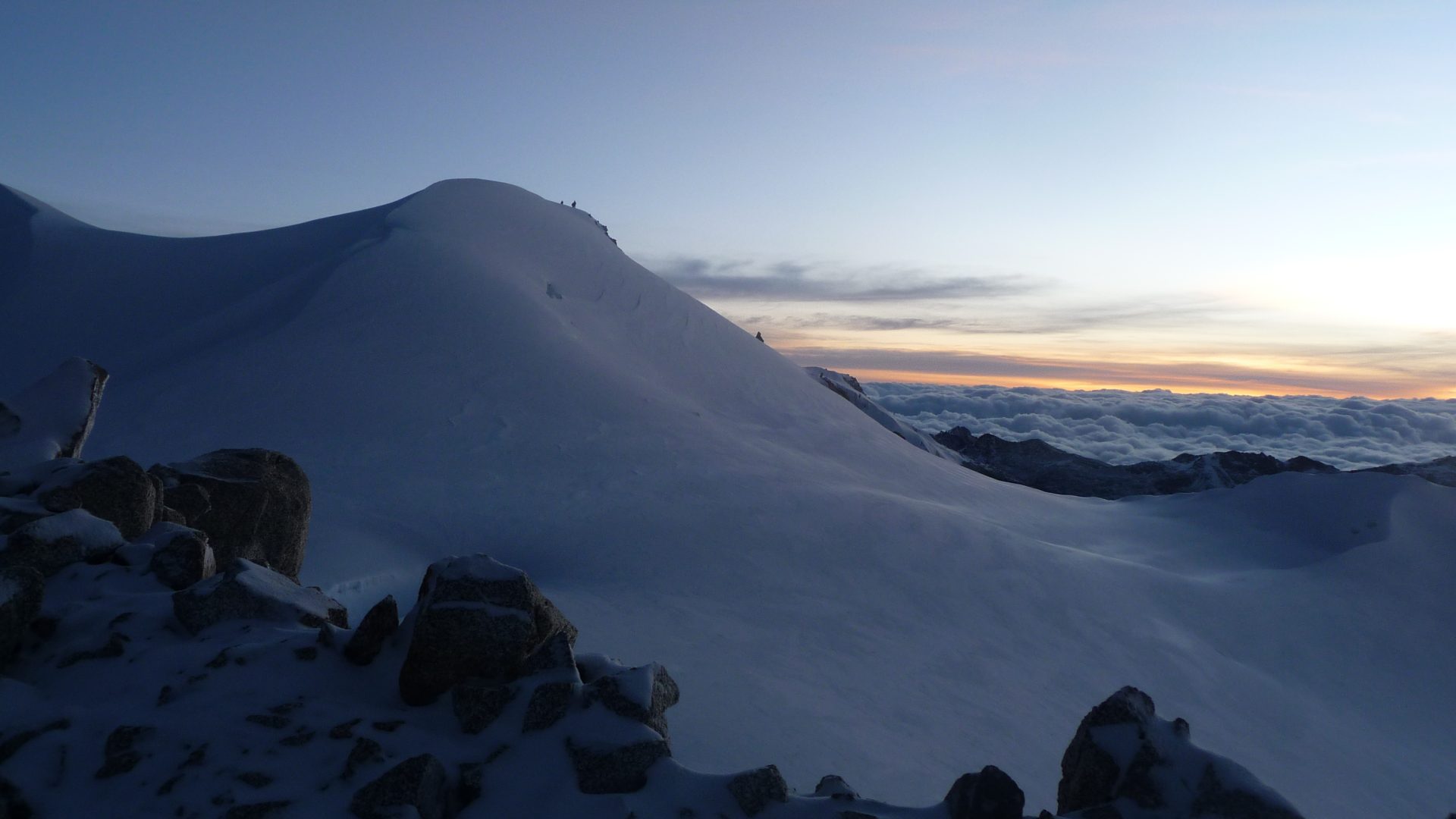
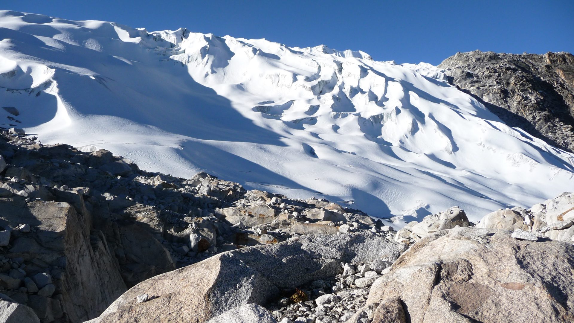
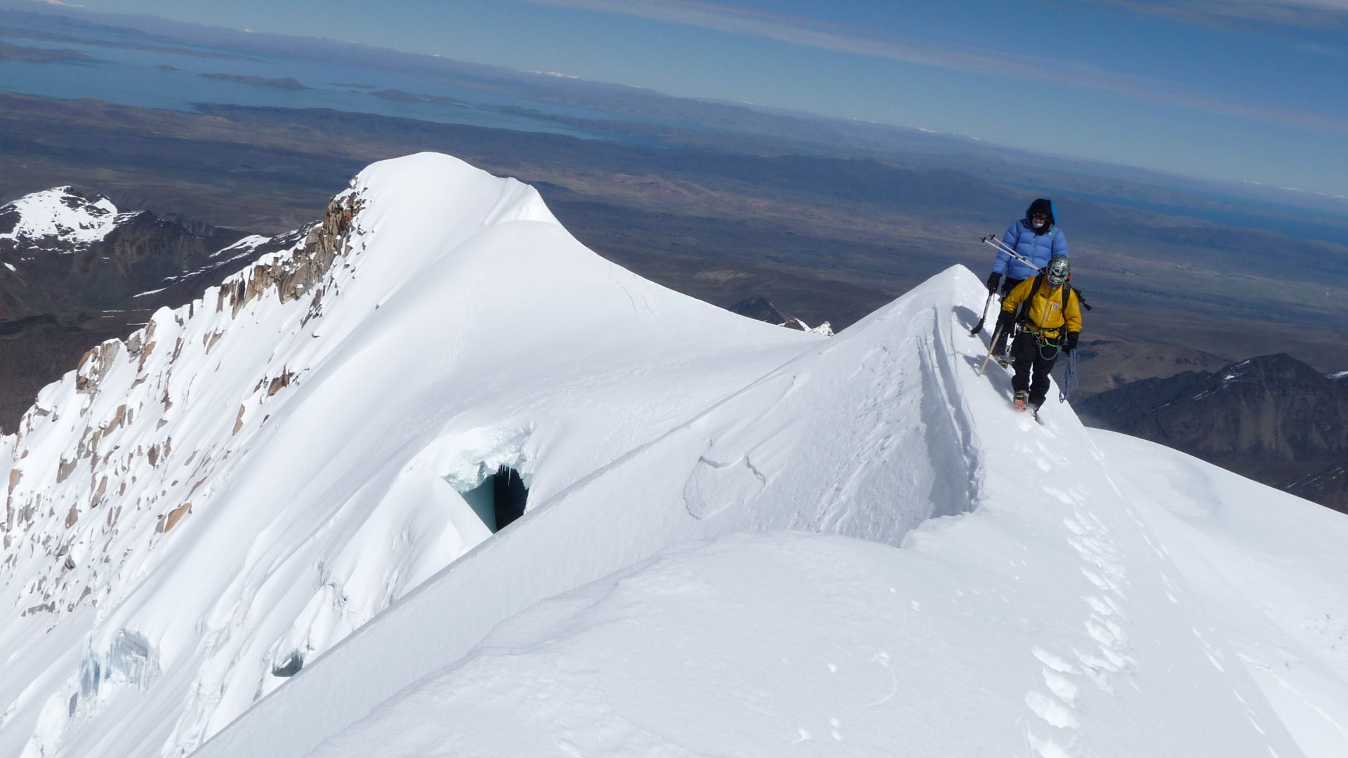
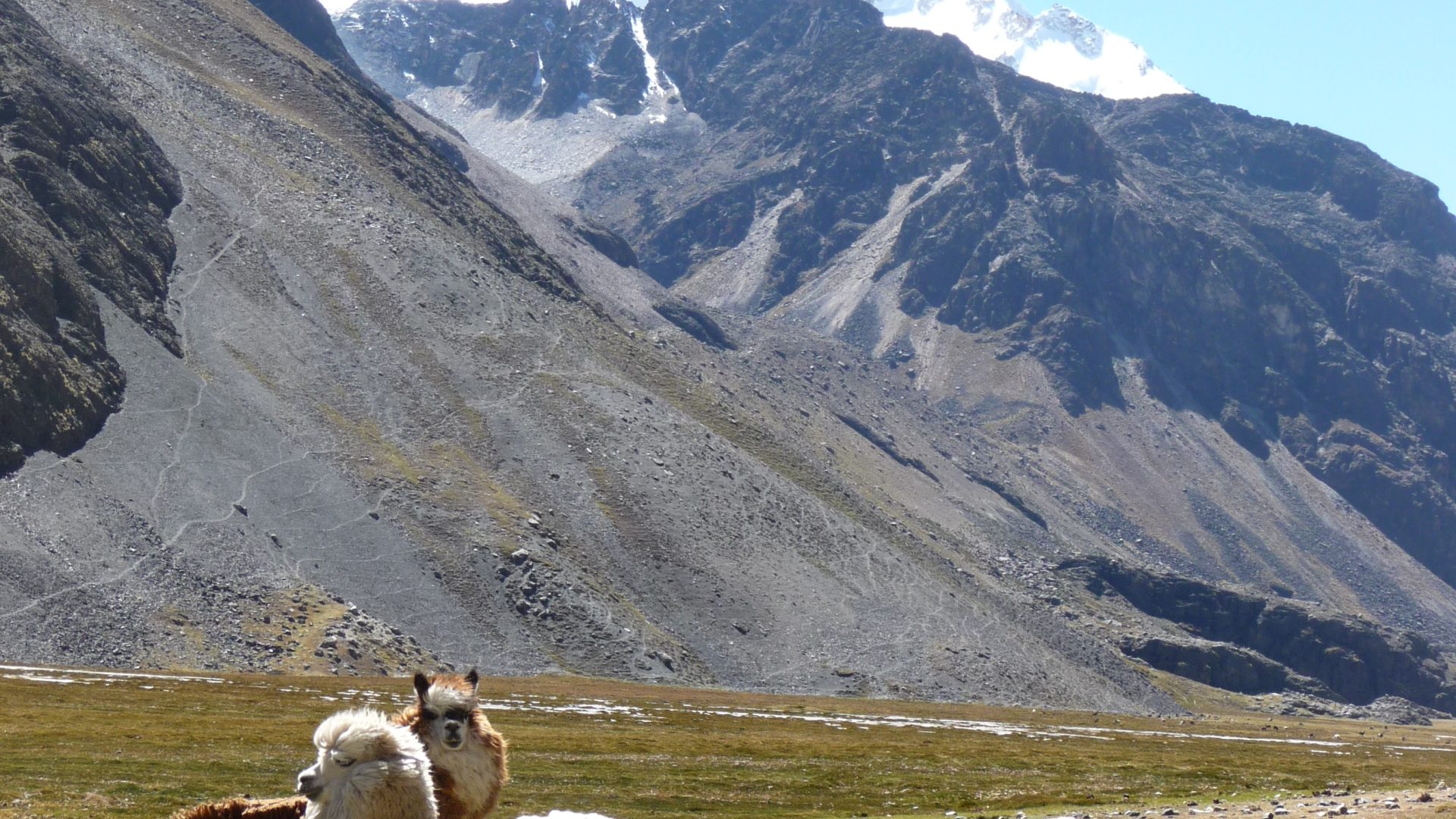
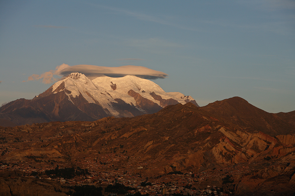
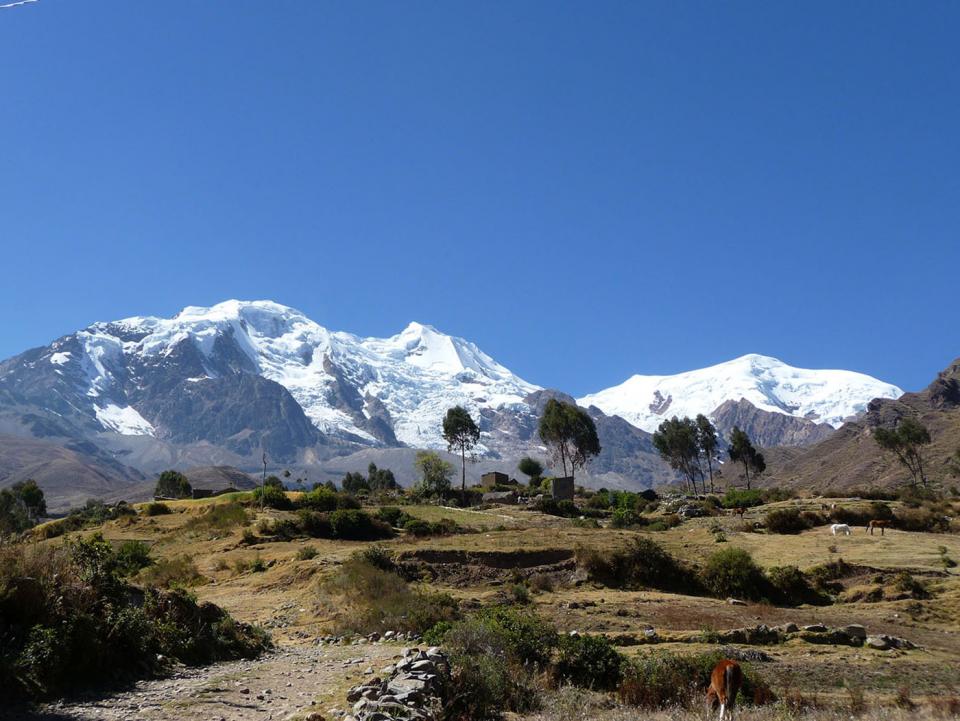
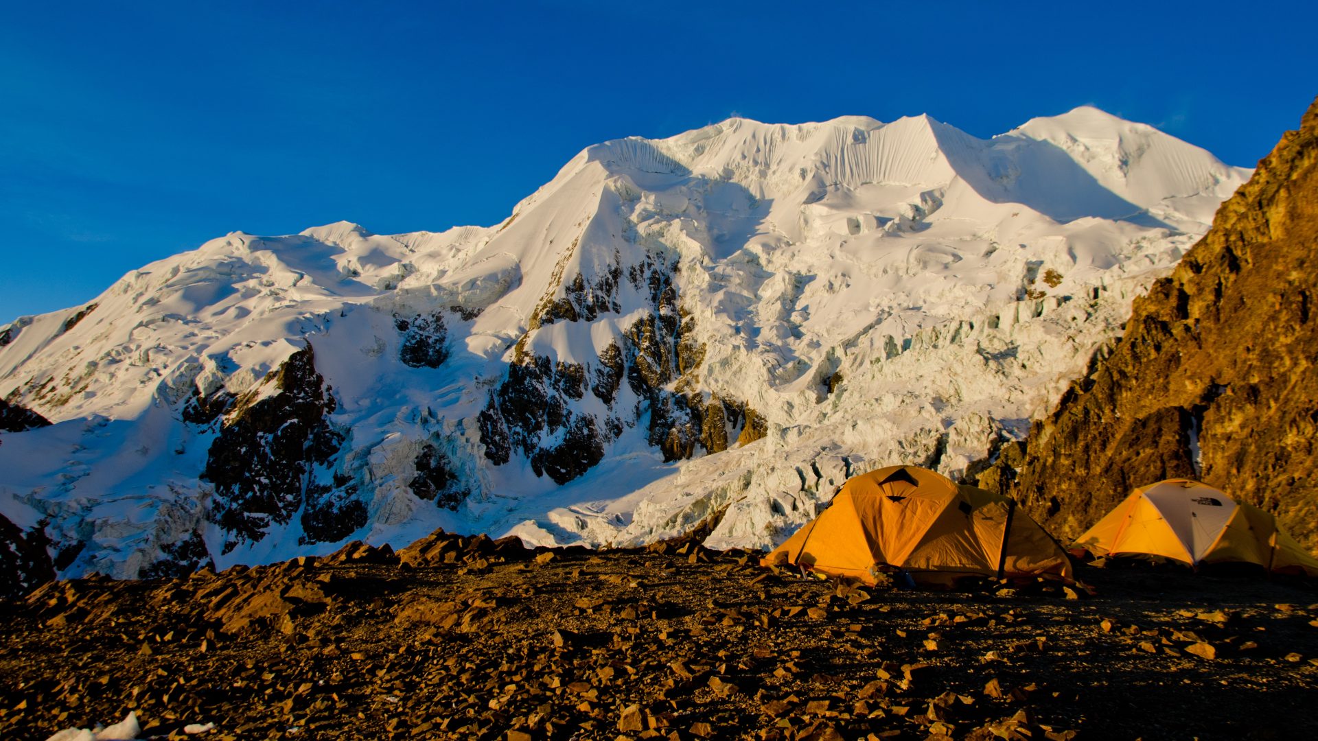
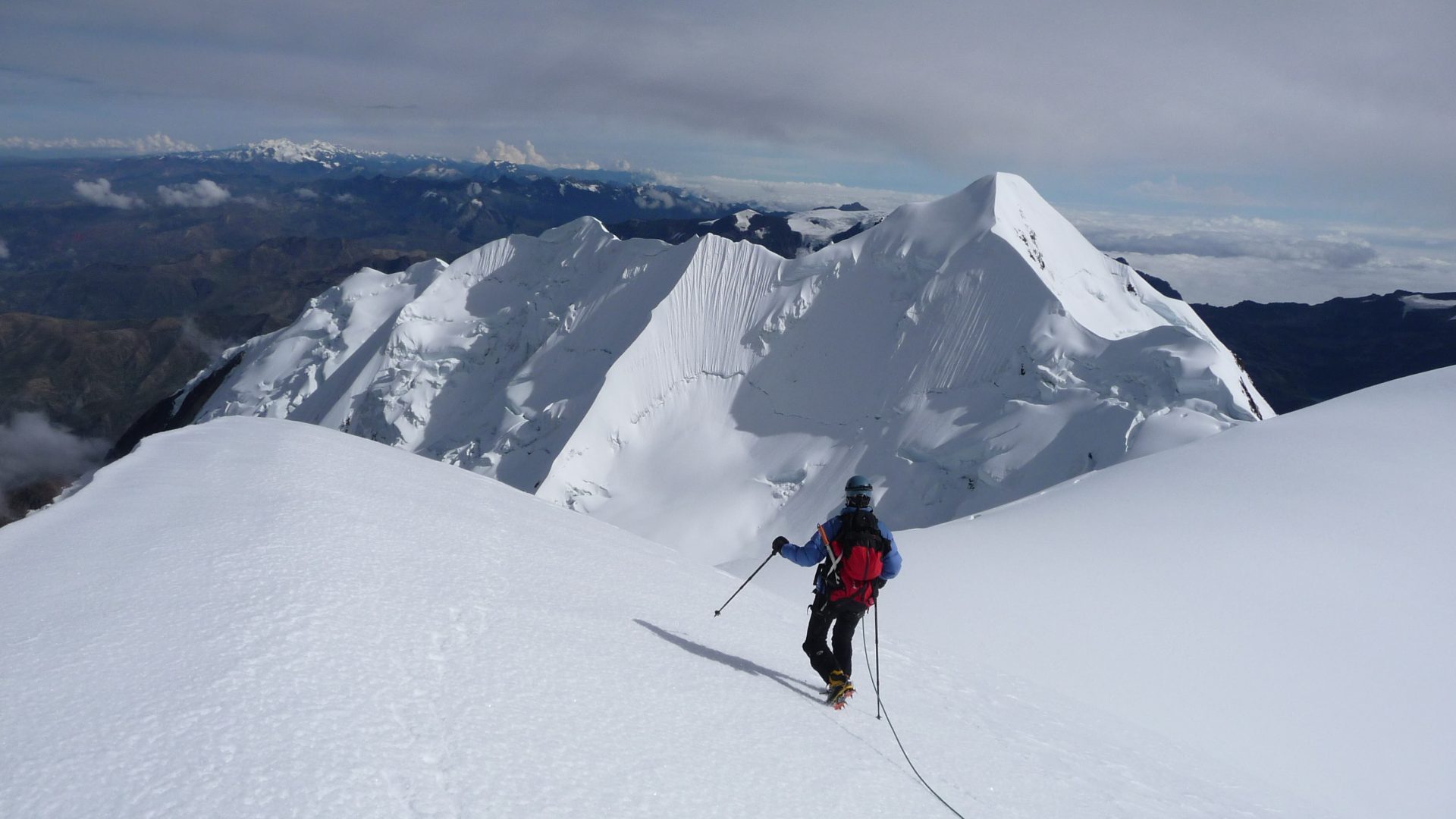
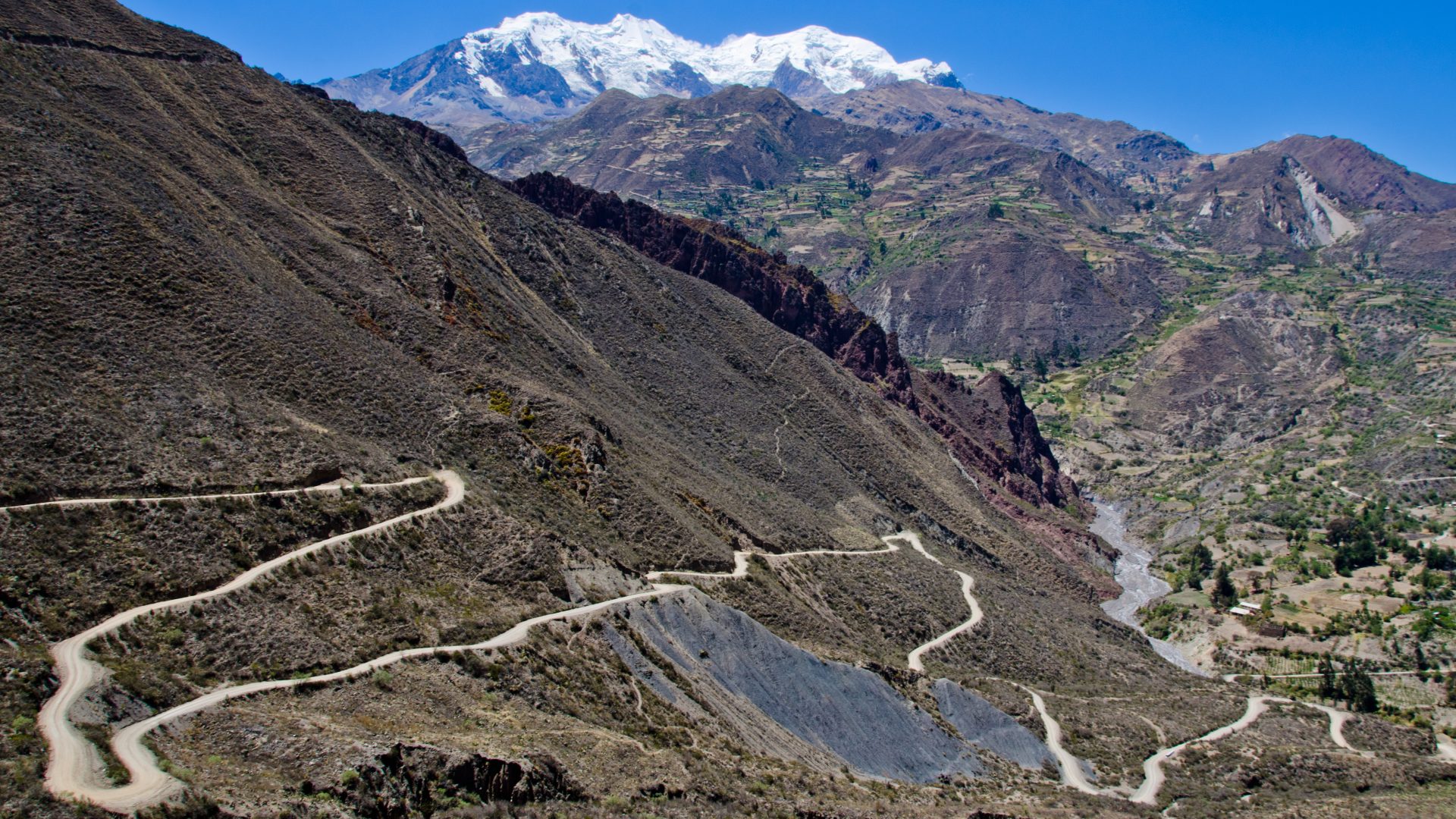
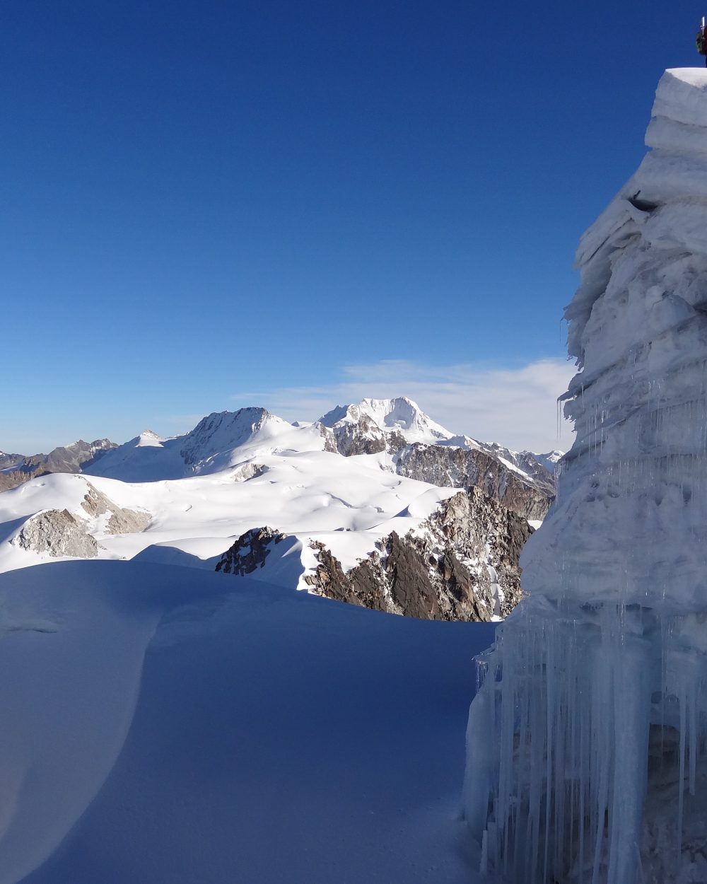
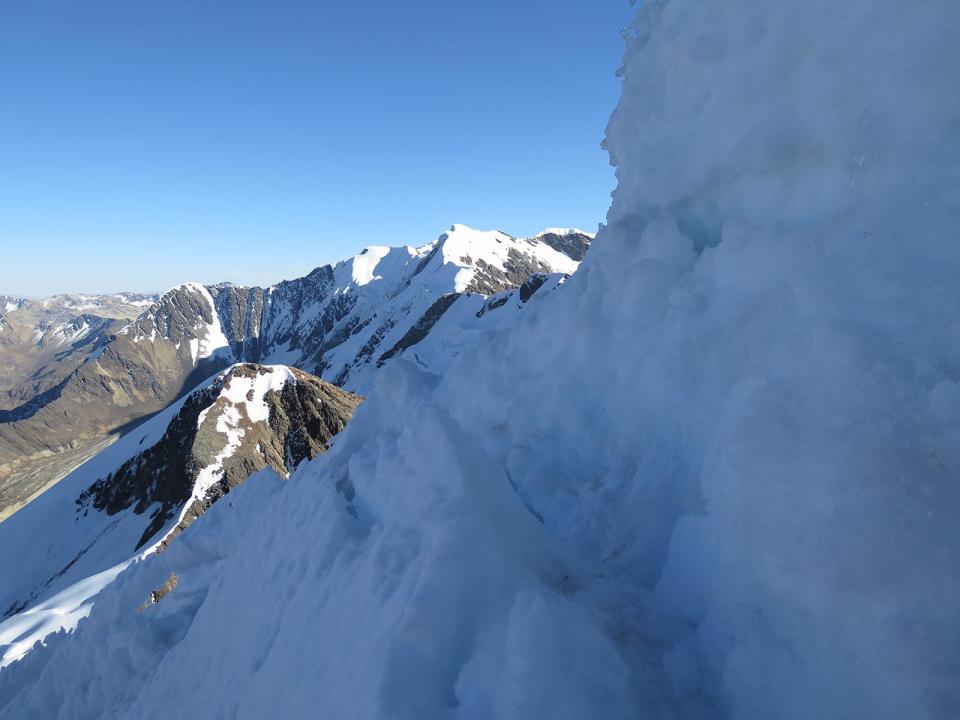
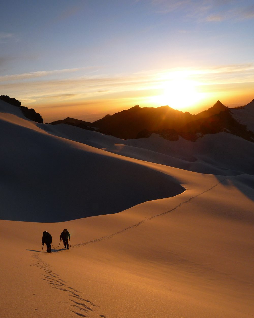
Vous êtes montagnards expérimentés, amoureux des grands espaces sauvages. Vous souhaitez découvrir une des plus belles cordillères des Andes, la mythique Cordillère Royale. Ce voyage est pour vous. Après une acclimatation au plus proche des communautés du lac Titicaca, vous partirez découvrir les plus beaux recoins de cette chaîne de montagne. Le Pequeño Alpamayo est le plus esthétique de tous, le Janq’u Uyu va ravir les accros de varappe et course glaciaire avec sa traversée aérienne et inédite. Le Pacha Pata est pour lui une course glaciaire assez courte mais offrant son lot de technicité. Et pour les plus aventureux d’entre vous, vous pourrez vous lancer dans la folle traversée du massif glaciaire entre le Janqu Uyu et le Chachacomani, quasiment jamais fréquenté. Aventure garantie ! Le Chacahcomani vous offre une belle course glaciaire facile techniquement mais physique à souhait pour ce premier 6000. Et vous finirez avec l’incontournable et mythique Illimani, protecteur de la ville de La Paz.

Overview
  • Durée 21 jours
  • Transport Spanish speaking driver and private vehicle
  • Entrées Comprise
  • Accompagnement UIAGM spanish mountain guide and spanish trekking guide / english speaking guide in La Paz and Titicaca Lake
  • Altitude from 3.600 m asl to 5.300m asl (6.439m asl for the Illimani)
  • Période from May to august
  • À partir de 4 970 €

Prix indicatif, hors vols internationaux. Toutes les nuits, repas, guides et transferts inclus.

Plan my trip
Jour 1

LA PAZ ARRIVAL (3600 m a.s.l / 11 800 FT)

  • Départ to be coordinated
  • Hébergement hotel
  • Repas none
  • Transport 30 min

Reception at the airport and transfer to the hotel. Rooms are available from midday, unless otherwise arranged by us. Rest of the day free.

Jour 2

LA PAZ - ARTISAN TOUR - FAIRY CHIMNEYS - COLORFUL MARKETS

  • Départ 08:00 am
  • Hébergement hotel
  • Repas breakfast
  • Transport 1h
  • Marche / vélo 2-3h

We depart after breakfast to K'Illi K'Illi which offers a magnificent panorama of La Paz and the majestic, snowcapped Illimani mountain (6,400 meters/21,100 feet in elevation). We then descend to the southern zone and Ramon Tito’s studio. Tito is a “paceño” sculptor and watercolorist. His workshop is located on the aptly named “Avenue of the Sculptor.” Tito works mainly with stone he finds in the surrounding mountains. In addition to the clay found in the Valley of Souls, La Paz is known for stone, including basalt, marble, sandstone, alabaster, granite. Locals claim stone carries the Bolivian soul. Tito’s work is testimony to this, From his workshop, the tour continues to the Pedregal Canyon and an easy ascent (3600 meters.18,100 feet). The Canyon is home to impressive fairy chimneys (hoodoo) and a pass that opens into "El Valle Escondido" (the Hidden Valley). The walk continues to a village at the foot of the Muela del Diablo and, for the more adventurous, a trek down the ridge to the edge of Calacoto (1h30 of additional walking). We spend the afternoon exploring the colorful markets and historic center of the city of La Paz on foot.

Jour 3

LA PAZ - ACHACACHI - SANTIAGO DE OKOLA (3810 meters/12.500 FT)

  • Départ 08:00 am
  • Hébergement local house
  • Repas breakfast, lunch, dinner
  • Transport 4h
  • Marche / vélo 3h

Departure in the morning towards the small village of Santiago de Okola, on Lake Titicaca shore. After crossing the village of Achacachi, we will head north in direction of Carabuco. After 4 hours drive from La Paz, we will reach this small village nested in a gorgeous bay overlooked by a hill named “Sleeping dragon”. It is a magical and heavenly place, with its beach and crystal clear waters. Upon arrival, you will be warmly welcomed by one of the 12 families of the community. We will start the day with a delicious Apthapi, a traditional meal of the Andean countryside collectively prepared by local families. It includes pancakes, donuts, shortbread quinoa, corn, potatoes and small fried fish from the lake. After lunch, we visit local artisans known for traditional weaving. This craft is passed across generations and has become an art form. It may take a month to weave an "aguayo", a traditional Andean fabric. After this nice meeting, we walk to the Sleeping Dragon mountain overlooking the bay. Below the head of the Dragon, there are cave paintings in the rock. From here, we take a leisurely hike up to the top of Tunapa Cave, which offers an amazing panorama of Lake Titicaca, the inland sea, and the Bay of Santiago. We descend from the other side, a more challenging, but beautiful, hike.

Jour 4

SANTIAGO DE OKOLA – TURTLE ISLAND – LA PAZ (3,600 meters/18,100 FT)

  • Départ 09:00 am
  • Hébergement hotel
  • Repas breakfast, lunch
  • Transport 4h
  • Marche / vélo 3h

Departure in the morning, we hike along the shore of Lake Titicaca to Tortuga Island, located on the other side of the bay. As our guide will explain, reaching Tortuga Island by foot was not always possible. When he was a child, it was surrounded by water. Lake Titicaca has receded in recent years. It still is home to many birds like ducks, Andean geese, and pink flamingos. We walk to the top of this small island to get a beautiful view of the bay. We return to Santiago de Okola by the same route. After a quinoa based Andean lunch, we will leave our host with regrets, and return to La Paz.

Jour 5

LA PAZ - LAGUNA KHOTIA - LAGUNA AJWANI (4615 meters / 15 141 FT)

  • Départ 08:00 am
  • Hébergement tent
  • Repas breakfast, lunch, dinner
  • Transport 3h
  • Marche / vélo 5h

Departure in the morning to the Royal Cordillera. We arrive at Khotia Lake (3 hours drive).From the Khotia Lake, the trail to Chiarkhota Lake is non-technical and among the most traveled in the Royal Cordillera. We start towards south, ascend to the “Contador” pass (4760 meters / 15 616 feet asl.), which offers a pretty view of mountain peaks that seem to plunge into a large valley. Lake Alka Quta is in view, as is the Palcoco nmine. We continue our descent to the valley following the cordillera, crossing a semi-swampy area close to the Surakhota lake (4410 meters / 14 468 feet asl.), and then heading up towards the south-east on the mountain to the Ajwani Lake (Lake of the birds, 4615 meters / 15 141 feet asl.), home to many ducks.

Jour 6

LAGUNA AJWANI - LAGUNA JURIKHOTA (4700 meters / 15 419 FT)

  • Départ 09:00 am
  • Hébergement tent
  • Repas breakfast, lunch, dinner
  • Marche / vélo 4h
Jour 7

LAGUNA JURIKHOTA - LAGUNA CONGELADA - AUSTRIA PASS - LAGUNA CHIARKHOTA (4680 meters / 15 354 FT)

  • Départ 09:00 am
  • Hébergement tent
  • Repas breakfast, lunch, dinner
  • Marche / vélo 5h

We start off towards the north-east, following the lake to a moraine. We climb up to Congelada lake (4880 meters / 16 010 feet asl.). The place is magic. The view is splendid, with the Condoriri glacier plunging into turquoise waters. The cliffs of the Left Wing and the Head of the Condor look imposing from here. We continue to the south-east and up a steep slope to the Austria pass at 5140 meters / 16 863 feet above sea level. A steep trek up screed terrain to its peak (5330 meters / 17 486 feet asl ) is optional before starting the descent. The Austria peak offers the best view of the Condoriri massif. We descend towards the south-east to Chiarkhota Lake (4680 meters / 15 354 feet asl), where we set up camp.

Jour 8

ASCENT OF PEQUEÑO ALPAMAYO - LAGUNA CHIARKHOTA (4680 meters / 15 354 FT)

  • Départ 03:00 am
  • Hébergement tent
  • Repas breakfast, lunch, dinner
  • Marche / vélo 8-10h

AD+/II - We depart in the night. The approach is non-technical and takes us through a valley to the glacier at 4805 m asl ( 15 764 FT). We climb to the dome and a pass (5245 m asl. / 17 208 FT) just above the bergschrund. The ascent to the Tarija Peak (5320 m asl / 17 454 FT) is steep (50º/55º) and includes some rocky areas. The view from here of the summit ridge is gorgeous. We descend by the same path.

Jour 9

LAGUNA CHIARKHOTA - RINCONADA - LAGUNA KHOTIA – LAGUNA JANQ’U QUTA) – CERRO WILA LLUXITA (5245m asl. / 17 208 FT)

  • Départ 08:00 am
  • Hébergement tent
  • Repas breakfast, lunch, dinner
  • Transport 2-3h
  • Marche / vélo 2h

We descend to the Rinconada. Drive from La Paz to Khotia Lake, continuing towards the north-east to Janq’u Quta Lake ( 4715 m asl. / 15 469 FT) at the foot of Mullu pass. We set up the camp close to the lake. The base camp of Janq’u Uyu lies further up, around 4900 m asl (16 076 FT) but it tends to be windy, thus making the Lake a preferred option for camping. We drive up to the Jang’uUyu pass for acclimatization trek. We start at the foot of the Cerro WilaLluxita. This glacial massif divides the valley. The Mullu pass leads to the Fabulosa mine in the south-wes, The pass in the north-west leads to the Cordillera andthe Tres Marias and Negruni massifs. We climb through rocks on a steep slope to reach the glacier. We follow the ridges and reach the summit of Cerro WilaLluxita at 5245 m asl ( 17 208 FT). We have a beautiful view of Janq’u Uyuand, Janq’u Laya and the Mullu Apacheta glacier.

Jour 10

JANQ’U UYU CROSSING – LAGUNA LECHE KHOTA (5.140 m asl. / 16 863 FT)

  • Départ 04:00 am
  • Hébergement tent
  • Repas breakfast, lunch, dinner
  • Transport 30 min
  • Marche / vélo 8-9h

PD / I and IV / V in rock / We depart in the night towards a famously windy pass at 5000 m asl (16 404 FT). As we head towards the north-west, our approach becomes rocky until we reach the edge of the glacier, where our trail becomes smooth. We head up the glacial dome until the summit. The ascent is non-technical and the slopes are gradual (35º/40º). The summit of Janq’uUyu is located on a magnificent cornice overlooking the ridges of this massif to the north-west. Chachacomani, Cerro Jakocire, Imasiña and Huayna Potosi are in view. We descent either by the same path, spending the night at Janq’uQuta lake, or across the ridges in the north-west, descending towards the south-west to the valley the foot of Jisk’aPata peak. We camp at Leche Khota lake, nested at the foot of Jach’aPata peak.

Jour 11

ASCENT OF PACH’A PATA (5.650 m asl. / 18 536 FT) OR REST

  • Départ 05:00 am
  • Hébergement tent
  • Repas breakfast, lunch, dinner
  • Marche / vélo 5-6h

AD + / IIWe depart in the morning. We walk up towards the south-west to a rocky barrier, continuing through rocks passing a lake above to the edge of the glacier. The ascent to a pass at 5510 m asl (18 077 FT) is gradual, with some steeper (45º-50º) slopes. The final approach to the summit is steep (65º-70º). The view is breathtaking, stretching across the Royal Cordillera, with the Illampu and Ancohuma massifs, Chearoco and Chachacomani in sight. We also see the Janq’u Uyu ridge, where the previous day took us, and the face of Wara Warani. We descent by the same path to our camp.

Jour 12

LAGUNA LECHE KHOTA - UMASIÑA - CHACHACOMANI VALLEY - CHACHACOMANI BASE CAMP (4.470 m asl. / 14 665 FT)

  • Départ 04:00 am
  • Hébergement tent
  • Repas breakfast, lunch, dinner
  • Marche / vélo 10-11h

PD /II and IV / V on rock - From Leche Khota lake, we start off to west through rocks. We reach a plateau overlooking the glacial valley and continue to the edge of the glacier at 5310 m asl. (17 421 FT) The trek up to a glacial plateau separating Janq’uUyu and Chachacoman and the ridges of Janq’u Uyu come into sight. We arrive at a small peak at 5455m asl (17 896 FT), with an amazing 360º panoramic view. Further north, the glacial massif leads the ridges of Cerro Umasiña. We continue along the crest, passing another peak at 5505 m asl (18 061 FT) and an exposed rocky section. We descend into a glacial valley (5410 m asl / 17 749 FT) before ascending to the last of the trek’s passes located at 5600 m asl (18 372 FT) just below the Umasiña ridges. From here, we either descend the glacier to Chachacomani valley and the base camp or climb to the ridges and descend above the base camp of Chachacomani. The latter is exposed and technical. Anyone preferring not to cross the glacier can accompany the cook by vehicle to the Chachacomani base camp.

Jour 13

CHACHACOMANI BASE CAMP - HIGH CAMP CHACHACOMANI (5.130 m asl. / 16 830 FT)

  • Départ 09:00 am
  • Hébergement tent
  • Repas breakfast, lunch, dinner
  • Marche / vélo 3-4h

We head north-west towards a perpendicular valley. We gain elevation quickly and arrive at a hollow with a meandering stream (4700 m asl / 15 419 FT). We continue through the hollow. As we head up towards the north to the glacier, the path is steep and rocky. We arrive at the glacier and set up camp.

Jour 14

ASCENT OF CHACHACOMANI - BASE CAMP (4470 m asl. / 14 665 FT)

  • Départ 01:00 am
  • Hébergement tent
  • Repas breakfast, lunch, dinner
  • Marche / vélo 9-10h

We depart in the night and make our way across the glacier to fissured plateau. We pass around crevasses to the foot of the Chachacomani ridges. As we head east to the main summit, the slopes are steeper (45º). The view from the summit ridge is stunning, stretching from the north to the south of the Cordillera. We descend by the same route and return to base camp.

Jour 15

BASE CAMP CHACHACOMANI - CRUZ PAMPA - LA PAZ (3600 m a.s.l / 11 800 FT)

  • Départ 08:00 am
  • Hébergement hotel
  • Repas breakfast, lunch
  • Transport 3h
  • Marche / vélo 2h

Return to the village of Cruz Pampa and drive to La Paz.

Jour 16

LA PAZ / FREE (3.600 m a.s.l / 11 800 FT)

  • Hébergement hotel
  • Repas breakfast

Free day to explore La Paz.

Jour 17

LA PAZ - PINAYA - PUENTE ROTO (4470 m a.s.l / 14 665 FT)

  • Départ 08:00 am
  • Hébergement tent
  • Repas breakfast, lunch, dinner
  • Transport 3h30
  • Marche / vélo 2-3h

Depart to the small village of Pinaya (3880 m asl / 12 729 FT) at the foot of Illimani massif. Meet with mule team and porters. Easy climb to Puente Roto, base camp of Illimani.

Jour 18

PUENTE ROTO – NIDO DEL CONDOR (5470 m a.s.l / 17 946 FT)

  • Départ 09:00 am
  • Hébergement tent
  • Repas breakfast, lunch, dinner
  • Marche / vélo 4-5h

We follow a well-traced path along the north and central peaks of Illimani before crossing some streams and an orange moraine. Our porters accompany us, making many trips between the base and high camps. We arrive to a rocky ridge at 4950m asl (16 240 FT). From there, the trek becomes more technical. We make a gradual, but steep and rocky, ascent to the Nido de los Condores, the Nest of the Condors. We camp on the edge of the glacier.

Jour 19

ASCENT OF ILLIMANI (6439 m a.s.l / 21 125 FT)

  • Départ 01:00 am
  • Hébergement tent
  • Repas breakfast, lunch, dinner
  • Marche / vélo 12-13h

AD+/IV - We depart in the night, making our way up long ridge with steep, but non-technical, slopes (45º/50º). The cliff faces towards the west and stays shady and cold. Around 6300 m above sea level (20 669 FT), we arrive to a glacial plateau between the central peak and the south peaks. We head towards the south-east and the summit ridge. The final approach to the summit is steep (55º). We descend to base camp.

Jour 20

PUENTE ROTO - PINAYA - LA PAZ (3600 m a.s.l / 11 800 FT)

  • Départ 10:00 am
  • Hébergement hotel
  • Repas breakfast, lunch
  • Transport 3h30
  • Marche / vélo 2h

Descent to the village of Pinaya and return to La Paz.

Jour 21

LA PAZ - DEPARTURE / INTERNATIONAL FLIGHT

  • Hébergement none
  • Repas breakfast
Also worth a look

Other itineraries you might enjoy

Like this itinerary?

Reach out to adjust this itinerary to your pace,
your level, your wishes.

Plan my trip