Mountains & Ascents

Huayna Potosi Ascent

Le Huayna Potosi est sans nul doute Le sommet le plus connu et fréquenté de Bolivie. Il se situe à environ 25 kilomètres au nord de La Paz dans la cordillère Orientale et culmine à 6.088m d’altitude. Il donne une vue sur l’Altiplano, La Paz, l’Illimani et la cordillère Royale. L’ascension est relativement peu difficile, mais possède quelques passages délicats (murs de glace de quelques mètres au-dessus du camp des argentins) et la pente finale est plus technique, de niveau (AD+/II). Sa trace est très bien faite et en facilite son ascension. Pour ceux qui préfèrent les ascensions glaciaires vierges non fréquentées, mieux vaut opter pour un autre sommet.

Overview
  • Durée 2 jours
  • Transport Private vehicle
  • Entrées Comprise
  • Accompagnement IFMGA english speaking guide (subject to availibity)
  • Altitude 6.088m asl
  • Période From May to October

Prix indicatif, hors vols internationaux. Toutes les nuits, repas, guides et transferts inclus.

Plan my trip
Jour 1

LA PAZ - CASA BLANCA – ROCK CAMP - « ANSELME BAUD » REFUGE (5.270 meters / 17 290 feet asl.)

  • Départ 08:00 am
  • Hébergement refuge
  • Repas breakfast, lunch,
  • Transport 2h
  • Marche / vélo 2h

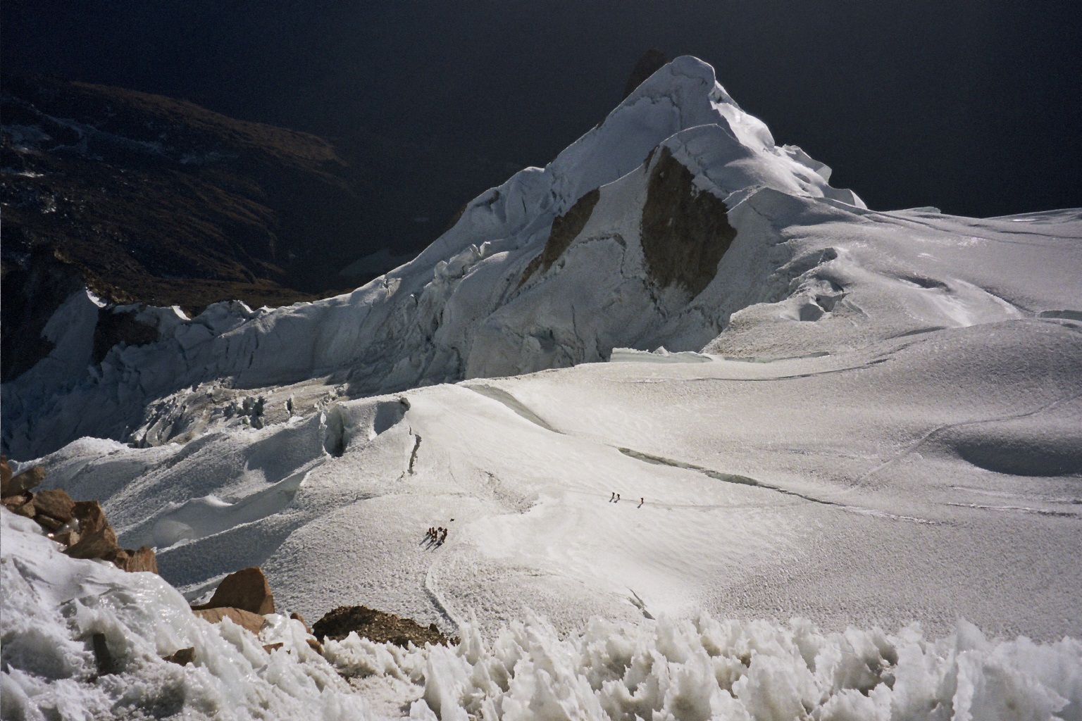
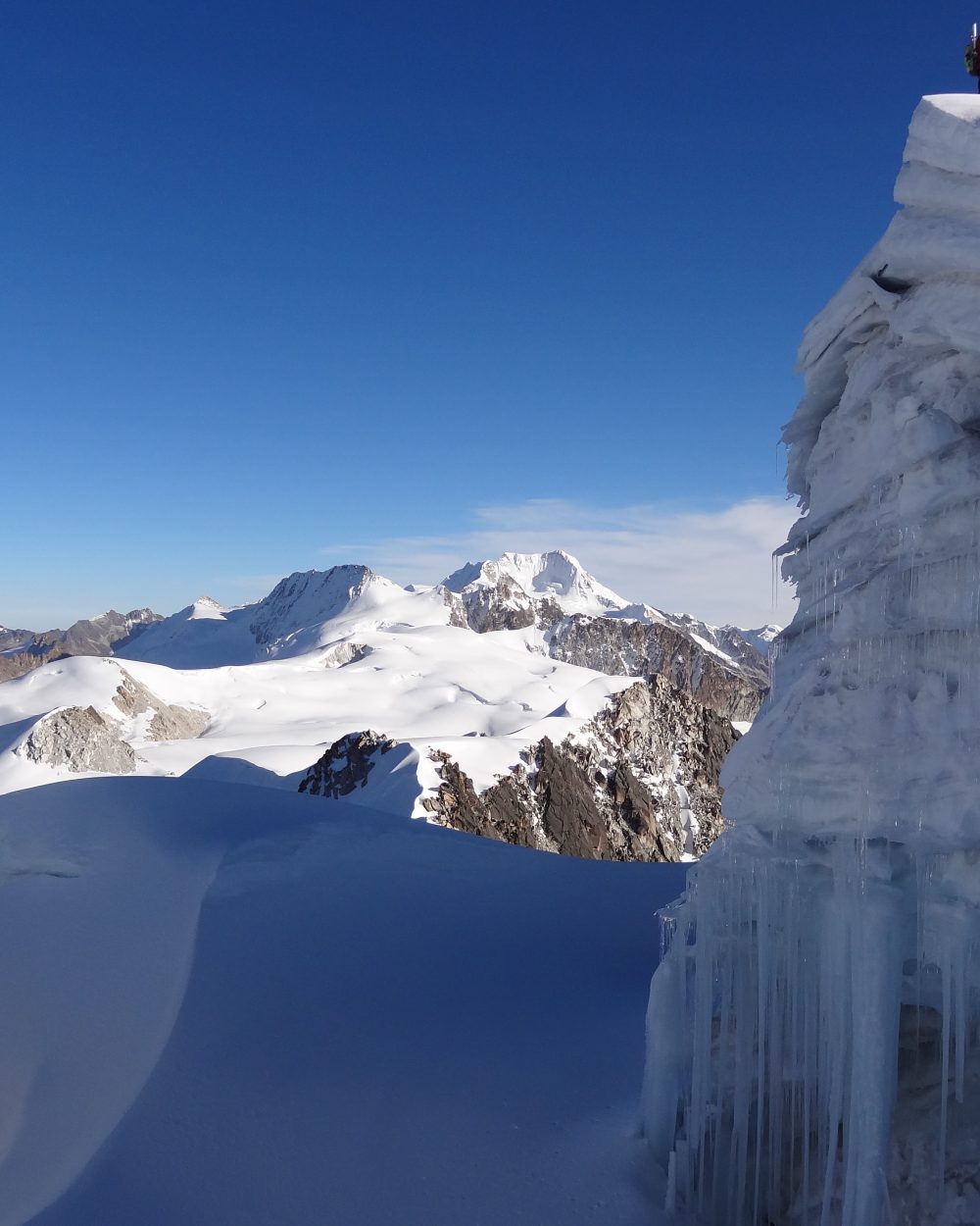
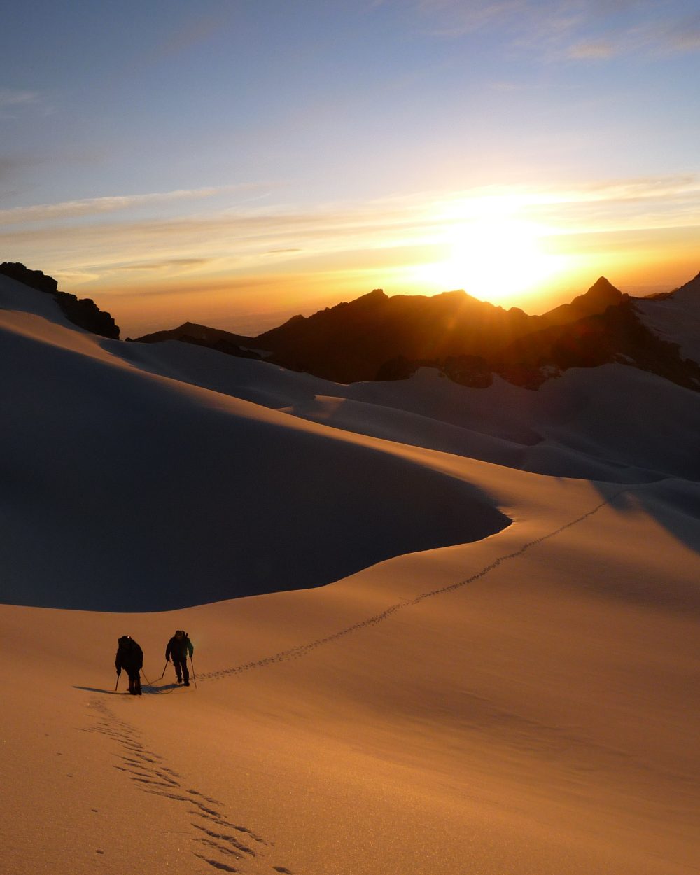
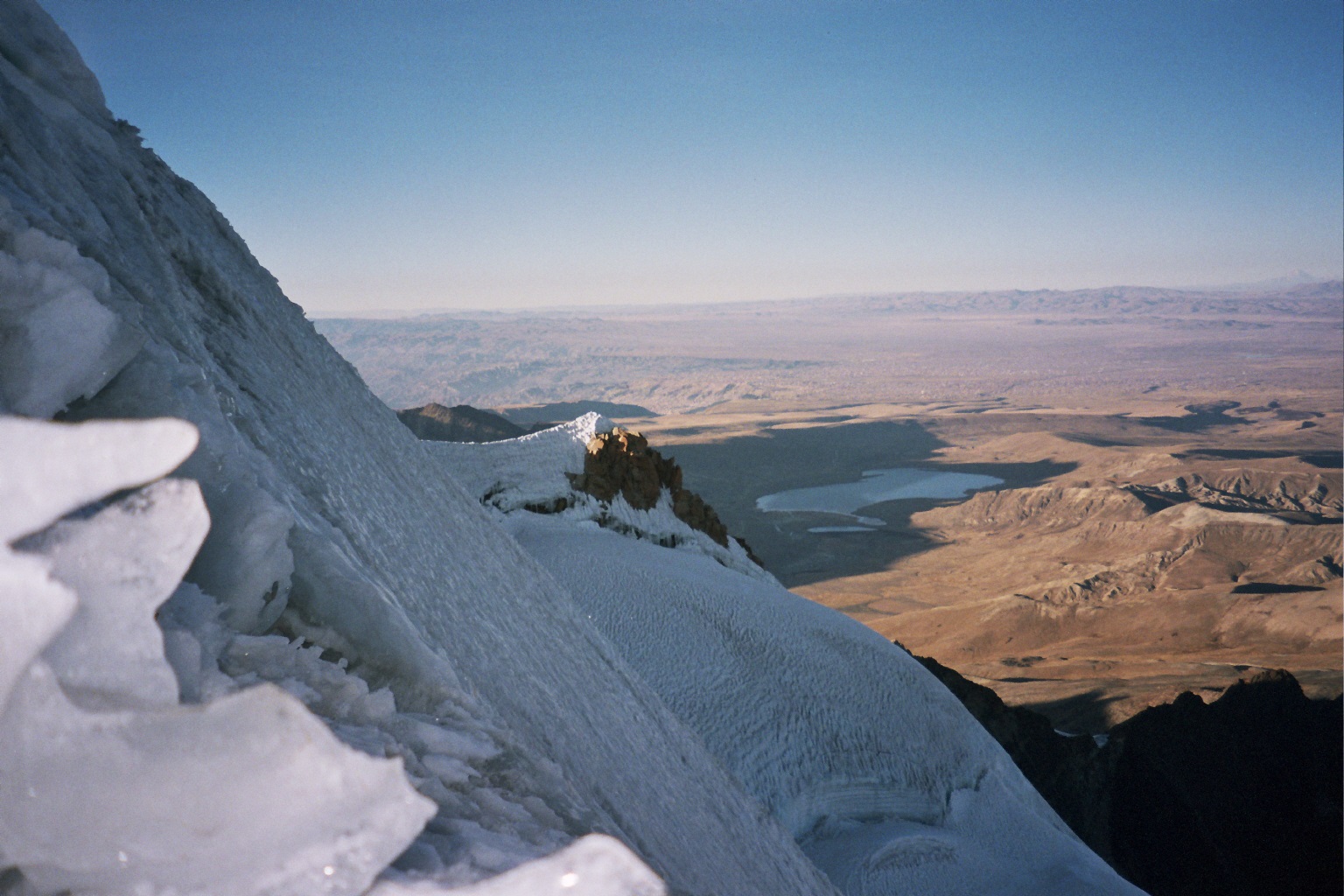
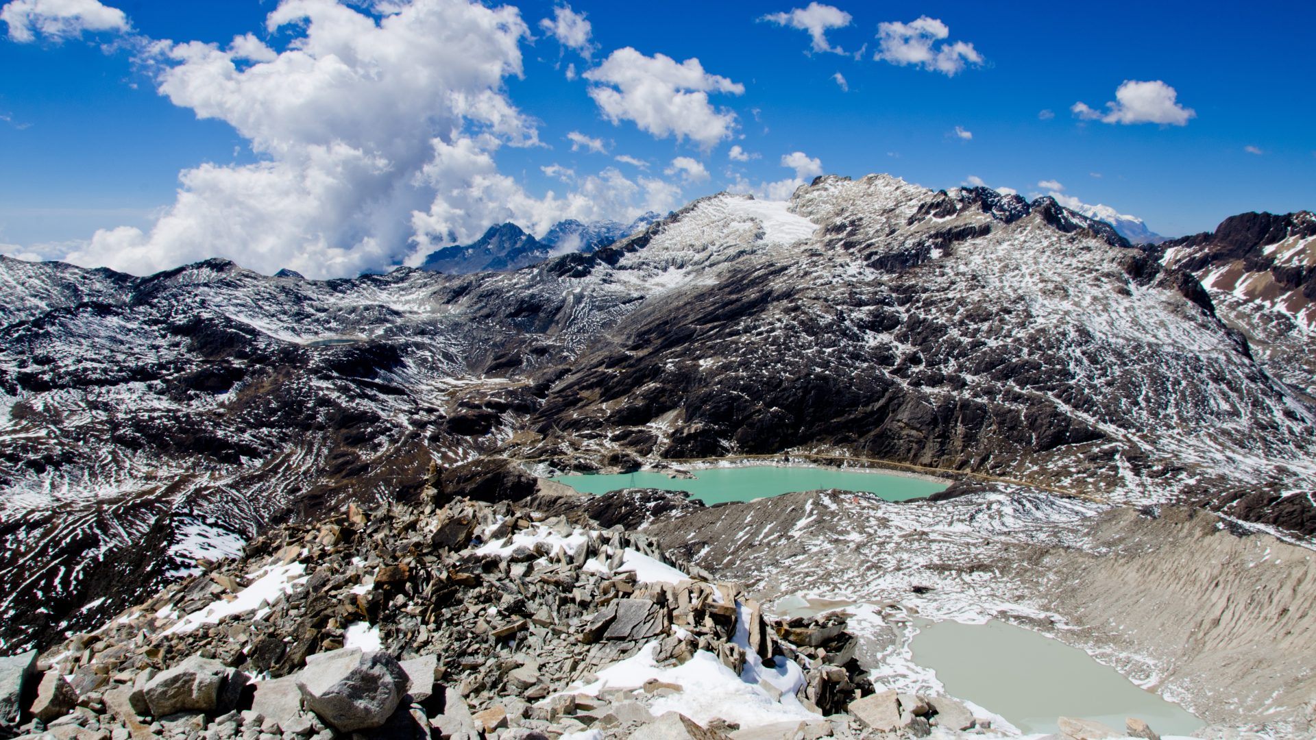
Transfer in private vehicle to the Casa Blanca refuge (4795 meters / 15 732 feet asl., 2 hours drive)Easy ascent above the refuge on a path going north. We pass by the glacier “Viejo” and walk North-West to the moraine (4970 meters / 16 305 feet asl.). On the last 200 m, we’ll walk on a steep rocky spur. Arrival to the Rock Camp’s refuge (5170 meters / 16 962 feet asl.). We continue north-west to the Anselme Baud refuge (5270 meters / 17 290 feet asl.)

Jour 2

ASCENT OF THE HUAYNA POTOSI (6.088 meters / 19 974 feet asl.) - LA PAZ (3.600 meters / 11 811 feet asl.)

  • Départ 08:00 am
  • Hébergement none
  • Repas breakfast, lunch
  • Transport 2h
  • Marche / vélo 8/11 h

Ascent with low difficulties, but with some tricky sections (small ice cliffs above Argentine camp) and the final slope is more technical (AD+/II).Departure at night (Around 2 am). The progression is easy to the north-west through successive trays until the argentine camp at 5470 meters / 17 946 feet asl.We face the first difficulty, a small ice wall (3 to 4 m, which may fluctuate with the years) which leads to the next plateau. We continue progressing north-west more easily, until the beginning of the final slope, however with some trickier sections but shorter. Now, we have to go for the final cliff, which is quite exposed (55º / 60º) and often mixed with ice and rock according to snowfall. We arrive now to an aerial and vertiginous ridge which leads us to the main summit. The view opens over the whole Altiplano, the Royal Cordillera and Illimani massif. It’s about 5 to 7 hours climbing from the refuge. Descent by the same route to the Casa Blanca refuge in 3 to 4 hours.Back to La Paz in vehicle.

Also worth a look

Other itineraries you might enjoy

Like this itinerary?

Reach out to adjust this itinerary to your pace,
your level, your wishes.

Plan my trip